
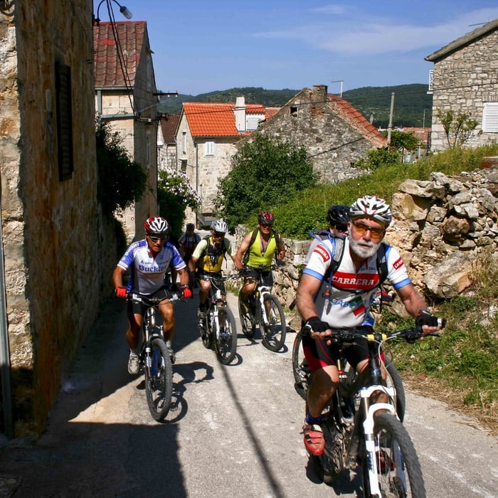

Vis-Stupišće Staza kreće iz grada Visa, preko Viškog polja ide do Stupišća gdje se prolazi po nekadašnjim vojnim objektima prepunog ukopa, bunkera i tunela.
Vidi više na www.isleride.com
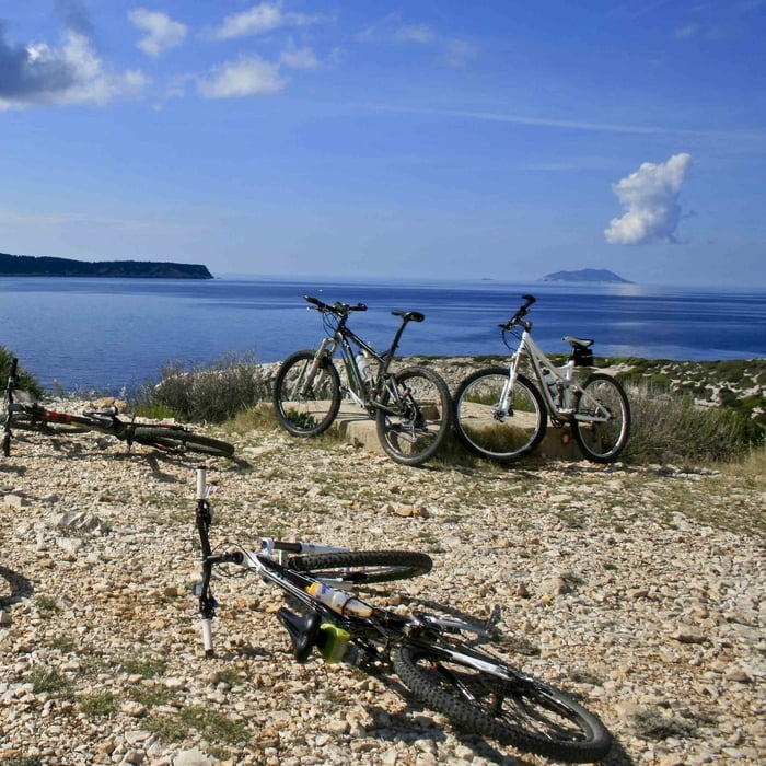
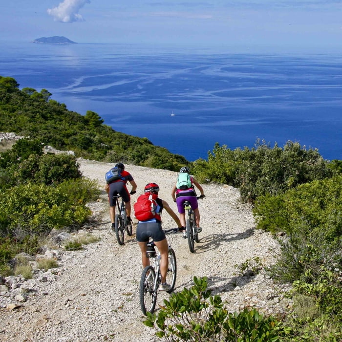
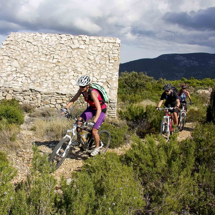
Tour gallery

Tour map and elevation profile
Minimum height 5 m
Maximum height 276 m
More about the tour author

|
KLB |
Comments

Kako doći: Split-Vis trajekt. Start je ugradu Visu. Vidi više na www.isleride.com
GPS tracks
Trackpoints-
GPX / Garmin Map Source (gpx) download
-
TCX / Garmin Training Center® (tcx) download
-
CRS / Garmin Training Center® (crs) download
-
Google Earth (kml) download
-
G7ToWin (g7t) download
-
TTQV (trk) download
-
Overlay (ovl) download
-
Fugawi (txt) download
-
Kompass (DAV) Track (tk) download
-
Track data sheet (pdf) download
-
Original file of the author (gpx) download
More about the tour author
|
|
KLB |
Add to my favorites
Remove from my favorites
Edit tags
Open track
My score
Rate