Login

Forgot your login?

Cookies have to be accepted!
Your browser's cookie functionality is disabled. Please enable this functionality.

Not a member yet?

Register now
Login

Available for registred users only

Log in to use this feature.

Forgot your login?

Cookies have to be accepted!
Your browser's cookie functionality is disabled. Please enable this functionality.

Not a member yet?

Register now
Filter
Categories
Advanced filters
  • Distance (km)
  • Height
Save filters Reset filter

TrackRank

QRCode

Technical data

Distance11,6 km Height1130 m Way down1133 m Duration06:00 h:m Date06.03.2012
Scores Author Landscape Fun factor Fitness Technique

Statistics

725 Views Scores 48 Downloads Average
Rate
  • Track data sheet
  • Directions
  • Downloads
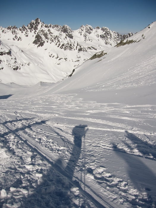
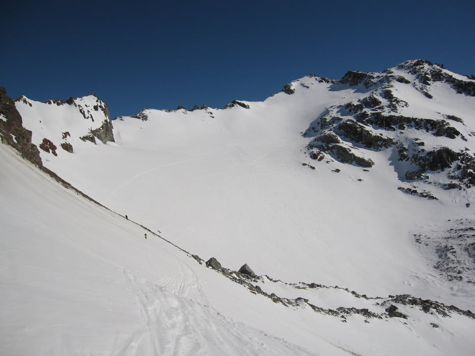
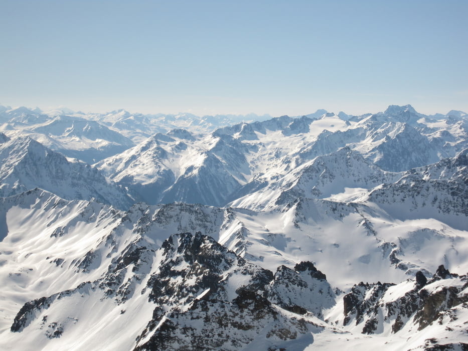
Von der Jamtalhütte aus zum Seinmandl, dann zur Fuorcla Chalaus. Kurze Abfahrt und dann der Gipfelhang hoch zur südlichen Augstenspitze.

Tour gallery

Tour map and elevation profile

  • Open Street Map
  • Google
Minimum height 2137 m Maximum height 3229 m Detailed view

More about the tour author

derwolf
Member since 2006

Send private message

Comments

Über Landeck und Ischgl nach HGaltür, dann zur Jamtalhütte.

GPS tracks

Trackpoints
  • GPX / Garmin Map Source (gpx) download
  • TCX / Garmin Training Center® (tcx) download
  • CRS / Garmin Training Center® (crs) download
  • Google Earth (kml) download
  • G7ToWin (g7t) download
  • TTQV (trk) download
  • Overlay (ovl) download
  • Fugawi (txt) download
  • Kompass (DAV) Track (tk) download
  • Track data sheet (pdf) download
  • Original file of the author (gpx) download

More about the tour author

derwolf
Member since 2006

Send private message
Share track
Add to my favorites
Remove from my favorites
Edit tags
My score
Rate
Track: adidas Skitour Tag 3 Jamtalhütte-Fuorcla Chalaus-südl.Augstenkopf
Type: Ski touring
Distance: 11,6 km
Evaluated on:
Duration:
Day(s)
Hour(s)
Minute(s)
Score: Landscape Fun factor Fitness Technique