


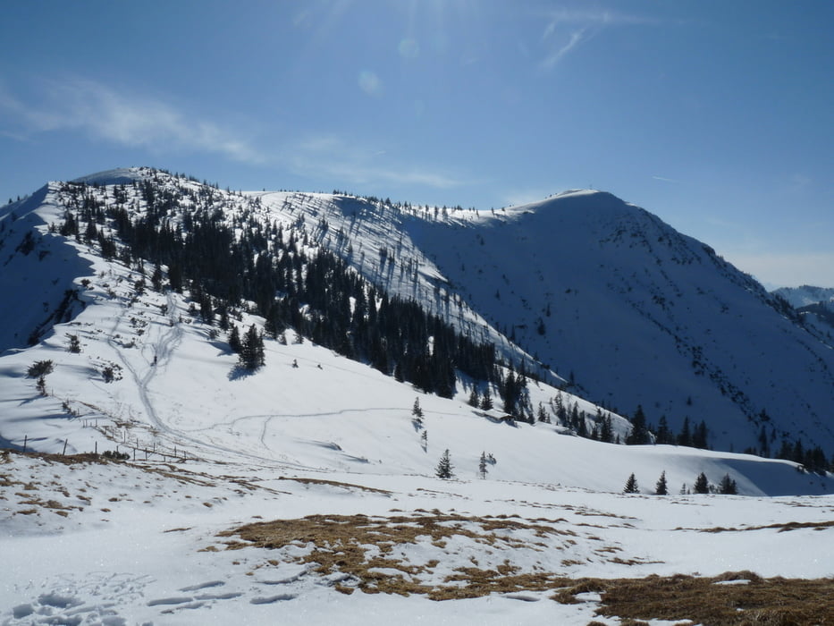
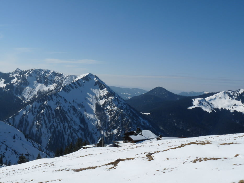
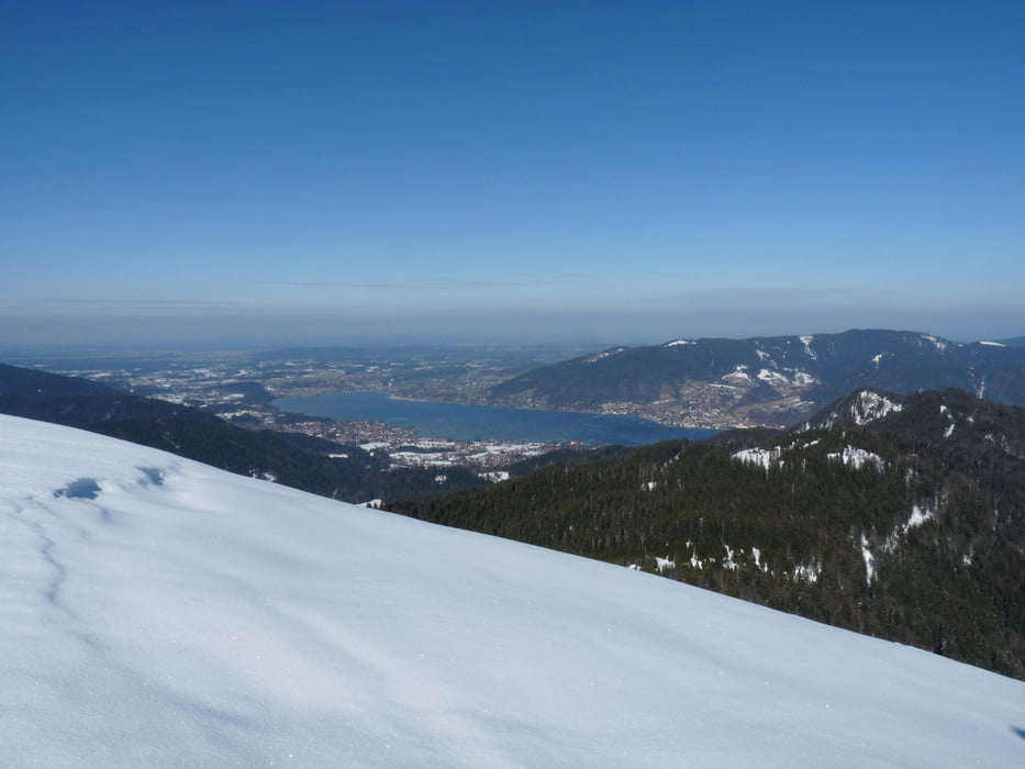
Zunächst gemächlich über das Feld beim Parkplatz Scharling startend, geht es nach ca. 1 km mit durchschnittlich 24 % querfeldein gut bergauf. Der letzte Kilometer vor dem Hirschberghaus verläuft sehr steil auf einem schmalem Pfad und erfordert Trittsicherheit. Am Kratzer (1534m) angekommen, genießt man eine herrliche Aussicht über das Tegernseer Tal sowie den Alpen-Hauptkamm. Nach einer Stärkung im Hirschberghaus kann man den noch ca. 45 min und 130 hm entfernten Hirschberg erklimmen oder wegen fortgeschrittener Stunde den Rückweg antreten.
Further information at
http://www.Hirschberghaus.deTour gallery
Tour map and elevation profile
Minimum height 756 m
Maximum height 1534 m
More about the tour author
|
|
Projektgruppe-nt |
Comments

Rottach-Egern auf der Bundesstraße in Richtung Sylvensteinstausee / Kreuth fahren und ca. 200 m nach dem Ortsausgang nach rechts in Richtung Enterbach abbiegen. Am Ortseingang Scharling befindet sich rechts ein Parkplatz.
GPS tracks
Trackpoints-
GPX / Garmin Map Source (gpx) download
-
TCX / Garmin Training Center® (tcx) download
-
CRS / Garmin Training Center® (crs) download
-
Google Earth (kml) download
-
G7ToWin (g7t) download
-
TTQV (trk) download
-
Overlay (ovl) download
-
Fugawi (txt) download
-
Kompass (DAV) Track (tk) download
-
Track data sheet (pdf) download
-
Original file of the author (gpx) download
More about the tour author
|
|
Projektgruppe-nt |
Add to my favorites
Remove from my favorites
Edit tags
Open track
My score
Rate