


Aufstieg: 2 Stunden
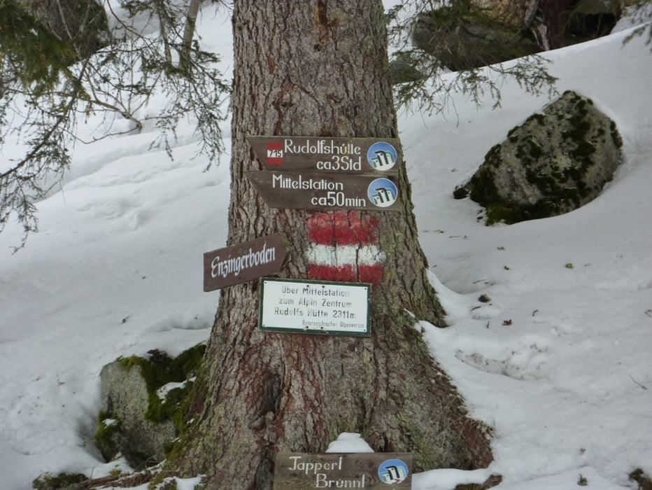
Ausgangspunkt , ist das Stubachtal/Enzingerboden (1.480m) Talstation der Weißsee Gletscherbahn.
Vom Enzingerboden den Weg an der Seilbahnstation in Richtung Grünsee (Mittelstation) und weiter bis zur Rudolfshütte Weisssee.
Tour gallery


Tour map and elevation profile
Minimum height 1352 m
Maximum height 2321 m
More about the tour author
|
|
harald07071 |
Comments

Über die Mittersiller Straße (B168) von Mittersill oder Zell am See kommend zum Kreisverkehr in Uttendorf und weiter in das Stubachtal, knapp 17 km bis zum Enzinger Boden (1.480m, großer, kostenloser Parkplatz).
GPS tracks
Trackpoints-
GPX / Garmin Map Source (gpx) download
-
TCX / Garmin Training Center® (tcx) download
-
CRS / Garmin Training Center® (crs) download
-
Google Earth (kml) download
-
G7ToWin (g7t) download
-
TTQV (trk) download
-
Overlay (ovl) download
-
Fugawi (txt) download
-
Kompass (DAV) Track (tk) download
-
Track data sheet (pdf) download
-
Original file of the author (gpx) download
More about the tour author
|
|
harald07071 |
Add to my favorites
Remove from my favorites
Edit tags
Open track
My score
Rate