
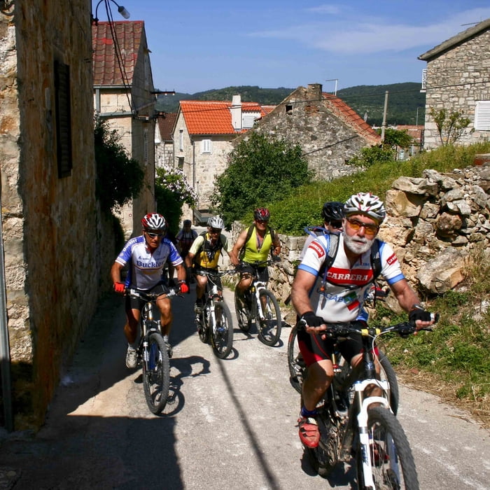

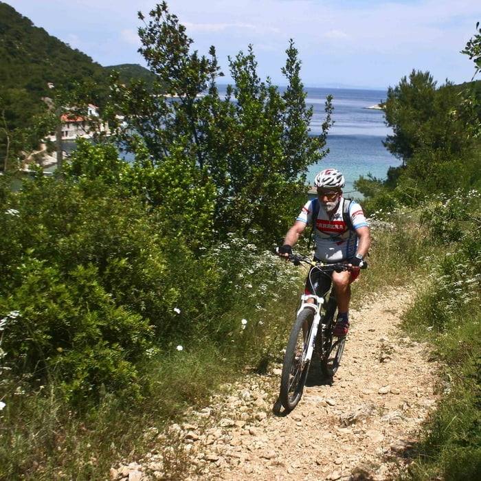
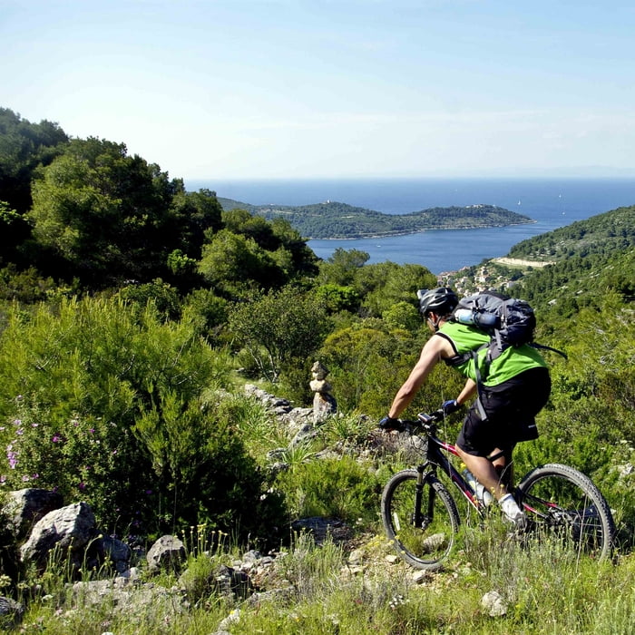
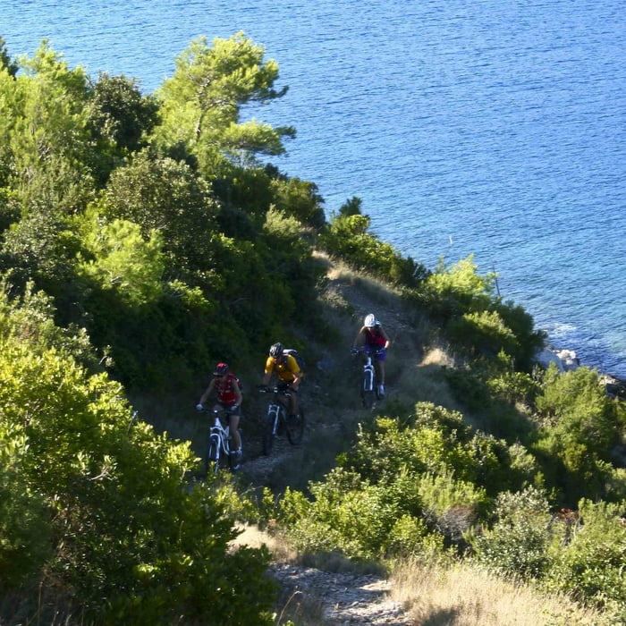
Staza kreće iz Visa i uspinje se cestom do Križa gdje se skreće na makadamski put koji se nakon kraćeg spusta spaja na cestu prema Stončici. U uvali Stončica počinje 4 km dugi singletrail koji vodi uz more do svjetionika. Istim putem vraća se nazad te nastavlja cestom preko Milne do Rukavca i nazad preko križa i uskog singletraila spušta se u grad Vis.
Tour gallery

Tour map and elevation profile
Minimum height 5 m
Maximum height 238 m
More about the tour author

|
KLB |
Comments

Kako doći: Split - Vis trajekt, start rute u gradu Visu. Preuzeto od: www.isleride.com
GPS tracks
Trackpoints-
GPX / Garmin Map Source (gpx) download
-
TCX / Garmin Training Center® (tcx) download
-
CRS / Garmin Training Center® (crs) download
-
Google Earth (kml) download
-
G7ToWin (g7t) download
-
TTQV (trk) download
-
Overlay (ovl) download
-
Fugawi (txt) download
-
Kompass (DAV) Track (tk) download
-
Track data sheet (pdf) download
-
Original file of the author (gpx) download
More about the tour author
|
|
KLB |
Add to my favorites
Remove from my favorites
Edit tags
Open track
My score
Rate