


Vom Bahnhof Lichtenberg ins Umland - zu Fuß
Das sind rund 22 km - erstaunlich: nur wenige Straßen, relativ viel Grün.
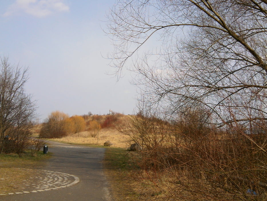
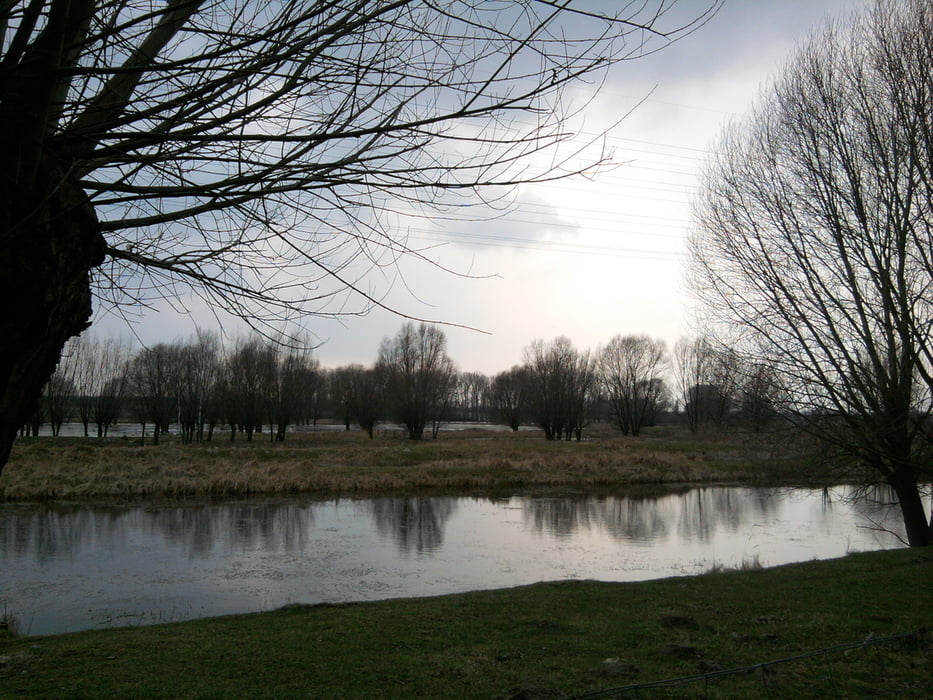
Die Tour habe ich aus der Luft (Google, Bing) geplant, anders käme niemand auf diese Streckenführung. Ich war positiv überrascht, wieviel Grün es auf dieser Strecke gibt. Idyllische, fast menschenleere Areale, gut besuchte Parks und Grünanlagen, riesige Tümpel, ehemalige Rieselfelder - der Nordosten Berlins hat viel zu bieten.
Die Strecke läßt sich an vielen Stellen abwandeln. Den einen Kilometer Landsberger Alle habe ich mit der Straßenbahn zurückgelegt (2 Stationen). Auf der Tour bin "nur" an nur einer Lokalität vorbeigekommen, dem "Lehmsofa" in Falkenberg.
Die Tour endet im Lenné-Park in Blumberg. Mag sein, daß er zu anderen Jahreszeiten schön anzusehen ist. Im frühen Frühjahr ist dort allerdings nichts Sehenswertes zu finden gewesen.
Tour gallery


Tour map and elevation profile
Minimum height -2 m
Maximum height 152 m
More about the tour author

|
xxrhahn |
Comments

Anfahrt: Regional-, S+U-Bahnhof Berlin-Lichtenberg
Rückfahrt: Mit der ODEG ab Bf Blumberg, Strecke Werneuchen - Berlin-Lichtenberg, fährt auch am Wochenende stündlich
GPS tracks
Trackpoints-
GPX / Garmin Map Source (gpx) download
-
TCX / Garmin Training Center® (tcx) download
-
CRS / Garmin Training Center® (crs) download
-
Google Earth (kml) download
-
G7ToWin (g7t) download
-
TTQV (trk) download
-
Overlay (ovl) download
-
Fugawi (txt) download
-
Kompass (DAV) Track (tk) download
-
Track data sheet (pdf) download
-
Original file of the author (gpx) download
More about the tour author
|
|
xxrhahn |
Add to my favorites
Remove from my favorites
Edit tags
Open track
My score
Rate