Login

Forgot your login?

Cookies have to be accepted!
Your browser's cookie functionality is disabled. Please enable this functionality.

Not a member yet?

Register now
Login

Available for registred users only

Log in to use this feature.

Forgot your login?

Cookies have to be accepted!
Your browser's cookie functionality is disabled. Please enable this functionality.

Not a member yet?

Register now
Filter
Categories
Advanced filters
  • Distance (km)
  • Height
Save filters Reset filter

TrackRank

QRCode

Technical data

Distance43,0 km Height0 m Way down0 m Duration06:00 h:m Date22.03.2012
Scores Author Landscape Fun factor Fitness Technique

Statistics

526 Views Scores 13 Downloads Average
Rate
  • Track data sheet
  • Directions
  • Downloads

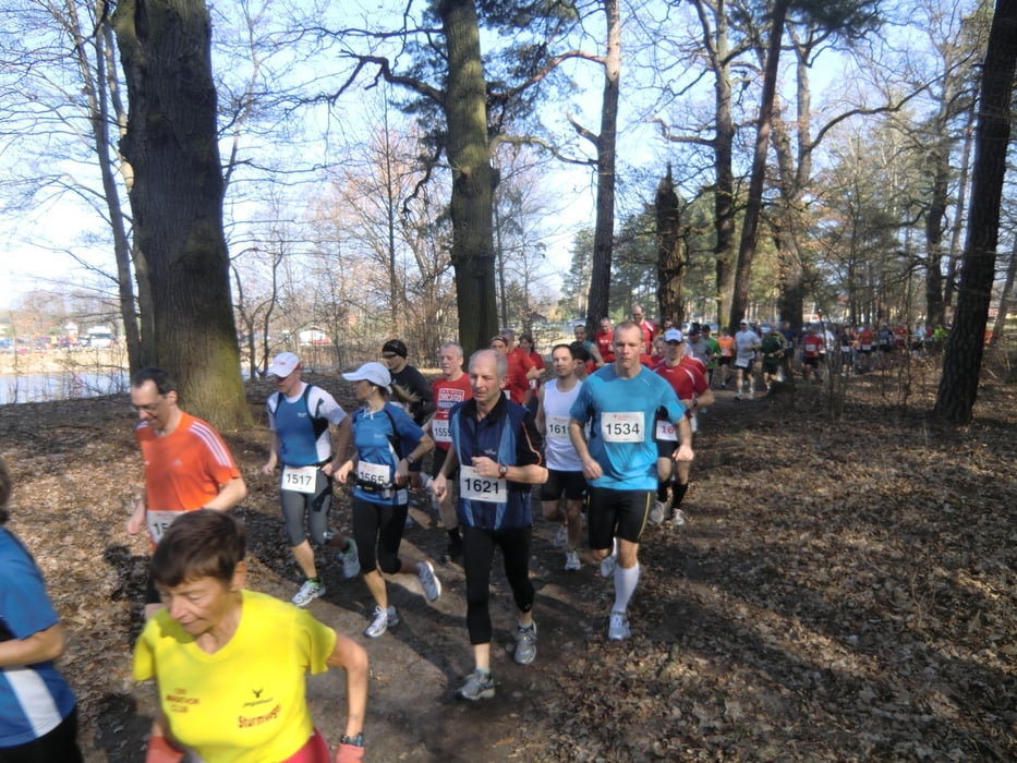
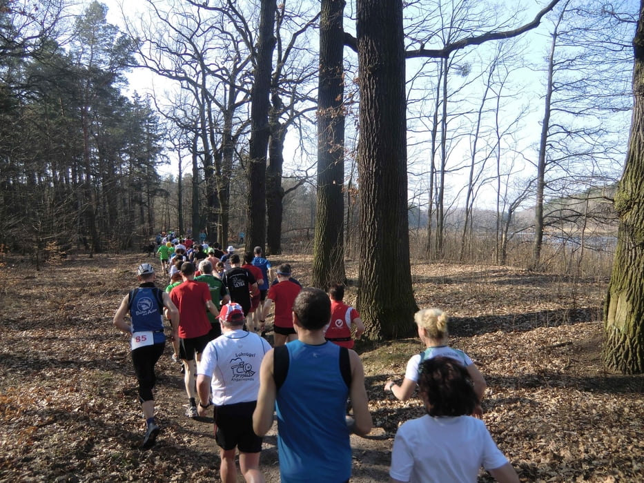
Marathonlauf teilweise entlang des Finow-Kanals, ca. 60 % Waldstrecke und ca. 40 % asphaltierter Fahrradweg

Strecke ist 4 x zu durchlaufen, je etwa 10,6 km
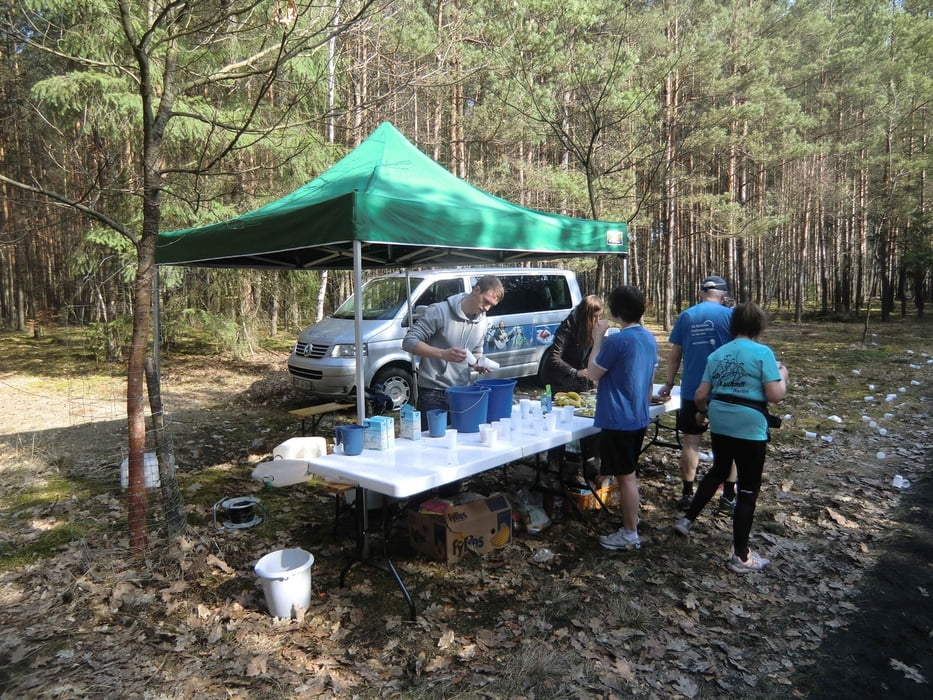
verkehrsfrei


Further information at

http://www.naturmarathon.de/

Tour gallery

Tour map and elevation profile

  • Open Street Map
  • Google
Minimum height 99999 m Maximum height -99999 m Detailed view

More about the tour author

DerLäufer
Member since 2008

Send private message

Comments

Autobahn A2 in Richtung Berlin, Autobahn Dreieck Werder auf A10 Autobahnring Berlin in Richtung Hamburg bis zur Autobahn A11 Abfahrt Prenden dort in Richtung Marienwerder bis zum Sportplatz

GPS tracks

Trackpoints
  • GPX / Garmin Map Source (gpx) download
  • TCX / Garmin Training Center® (tcx) download
  • CRS / Garmin Training Center® (crs) download
  • Google Earth (kml) download
  • G7ToWin (g7t) download
  • TTQV (trk) download
  • Overlay (ovl) download
  • Fugawi (txt) download
  • Kompass (DAV) Track (tk) download
  • Track data sheet (pdf) download
  • Original file of the author (gpx) download

More about the tour author

DerLäufer
Member since 2008

Send private message
Share track
Add to my favorites
Remove from my favorites
Edit tags
My score
Rate
Track: Baff Natur-Marathon Marienwerder
Type: Running
Distance: 43,0 km
Evaluated on:
Duration:
Day(s)
Hour(s)
Minute(s)
Score: Landscape Fun factor Fitness Technique