


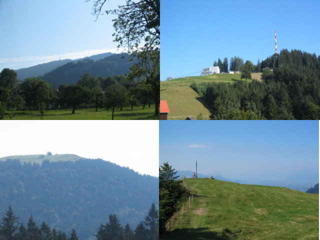
Fahrt von Dornbirn über Bregenz, Gebhartsberg, Fluh, Pfänder zum Hirschberg. Zurück über Wirtha Tobel, Kennelbach. Kurzes Tragstück am Hirschberg, teilweise Anspruchsvolle Abfahrt. ca. 950 Höhenmeter
Further information at
http://klauserg.dyndns.org/1701_15_1_index_sport_bike_tour15.phpTour gallery
Tour map and elevation profile
Minimum height 406 m
Maximum height 1094 m
More about the tour author

|
klauserg |
Comments

Steinert
on 04.08.2008
nette Route, keine großen Highlights, aber auch keine schlechten Strecken. Bis auf ein kürzeres Stück gut fahrbaren Singletrail unterm Hirschberggipfel alles gewöhnliche Schotterwege. Wenn man die Region nicht so kennt, lieber eine Route mit der Abfahrt auf der anderen Pfänderseite wählen, diese hat ab Hirschberg keinen Seeblick mehr.
coole tour (fast alles im Schatten)
GPS tracks
Trackpoints-
GPX / Garmin Map Source (gpx) download
-
TCX / Garmin Training Center® (tcx) download
-
CRS / Garmin Training Center® (crs) download
-
Google Earth (kml) download
-
G7ToWin (g7t) download
-
TTQV (trk) download
-
Overlay (ovl) download
-
Fugawi (txt) download
-
Kompass (DAV) Track (tk) download
-
Track data sheet (pdf) download
-
Original file of the author (gpx) download
More about the tour author
|
|
klauserg |
Add to my favorites
Remove from my favorites
Edit tags
Open track
My score
Rate