


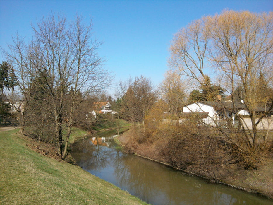
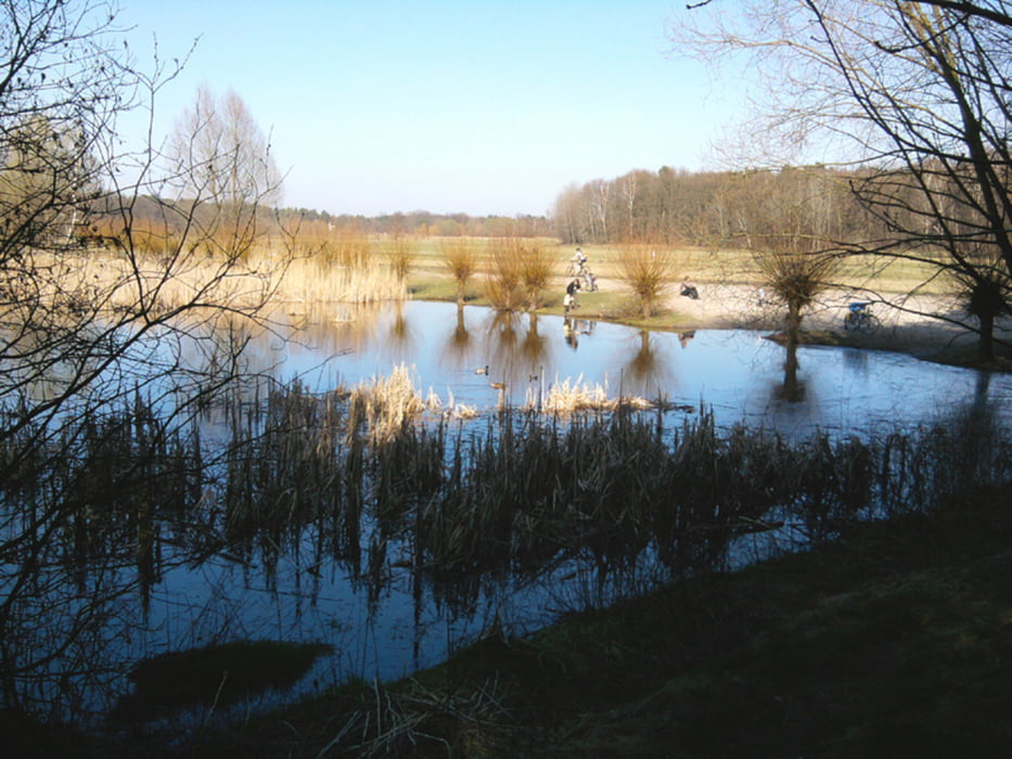
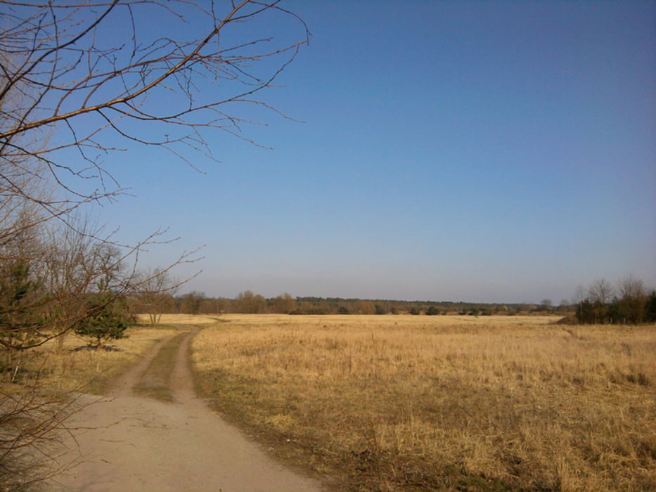
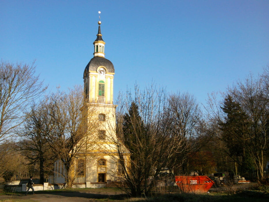
Heute ging's in der Nähe von Ostkreuz los, am Rummelsburger See. Am Wasser entlang, 2 Stationen mit der Straßenbahn bis Blockdammweg, durch die Wuhlheide. Am S-Bahnhof auf die andere Seite, weiter zur Wuhle, durch die Mittelheide zum Erpetal. Wegen der tollen Landschaft hätte hier eigentlich Schluß sein können. Aber weiter über den Machnow bis nach Schöneiche.
Als Einstieg eignen sich verschiedene Punkte, so daß die Tour auch für kurze Strecken geeignet ist. Nahverkehrsanbindung ist überall gegeben.
Further information at
http://xxrhahn.de/public/Berlin-Schoeneiche_2012-03/index.htmlTour gallery
Tour map and elevation profile
Minimum height 27 m
Maximum height 167 m
More about the tour author

|
xxrhahn |
Comments

S-Bahn Rummelsburg
S-Bahn Karlshorst und Tram Richtung Schöneweide (2-3 Stationen)
S-Bahn Hirschgarten (für die ganz kurze Tour)
Rückfahrt:
Schöneicher-Rüdersdorfer Straßenbahn (ABC-Ticket) bis S-Bahn Friedrichshagen
GPS tracks
Trackpoints-
GPX / Garmin Map Source (gpx) download
-
TCX / Garmin Training Center® (tcx) download
-
CRS / Garmin Training Center® (crs) download
-
Google Earth (kml) download
-
G7ToWin (g7t) download
-
TTQV (trk) download
-
Overlay (ovl) download
-
Fugawi (txt) download
-
Kompass (DAV) Track (tk) download
-
Track data sheet (pdf) download
-
Original file of the author (gpx) download
More about the tour author
|
|
xxrhahn |
Add to my favorites
Remove from my favorites
Edit tags
Open track
My score
Rate