Login

Forgot your login?

Cookies have to be accepted!
Your browser's cookie functionality is disabled. Please enable this functionality.

Not a member yet?

Register now
Login

Available for registred users only

Log in to use this feature.

Forgot your login?

Cookies have to be accepted!
Your browser's cookie functionality is disabled. Please enable this functionality.

Not a member yet?

Register now
Filter
Categories
Advanced filters
  • Distance (km)
  • Height
Save filters Reset filter

TrackRank

QRCode

Technical data

Distance38,4 km Height764 m Way down764 m Duration03:00 h:m Date27.03.2012
Scores Author Landscape Fun factor Fitness Technique

Statistics

1191 Views 2 Scores 188 Downloads 3.00 Average
Rate
  • Track data sheet
  • Directions
  • Downloads
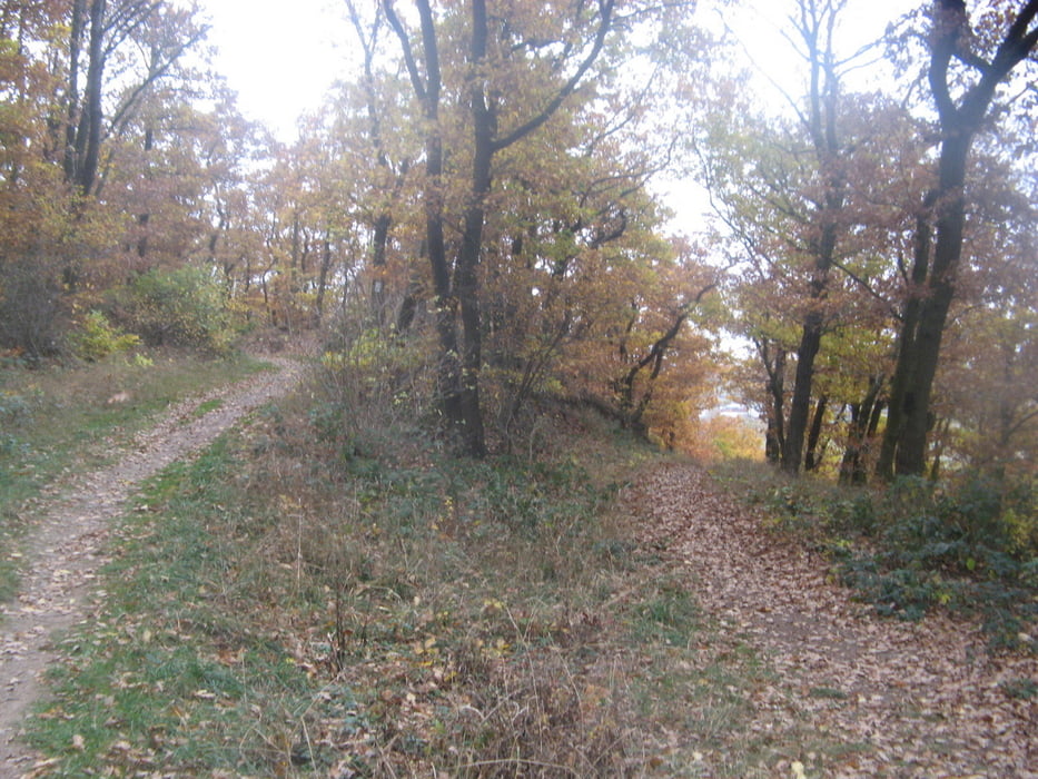
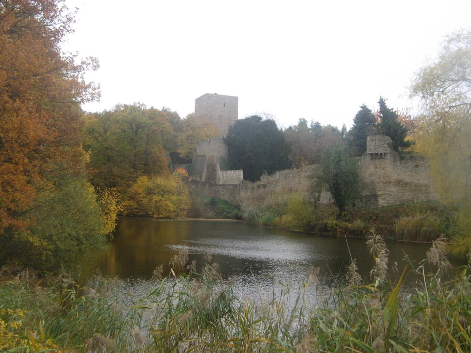
Das ist die Erweiterung der MTB 12, welche noch die schönsten Trails des Hardtwaldes oberhalb von Kreuzweingarten mit eingebaut hat. Rest der Beschreibung siehe MTB 12.

Tour gallery

Tour map and elevation profile

  • Open Street Map
  • Google
Minimum height 210 m Maximum height 532 m Detailed view

More about the tour author

Guenni0808
Member since 2008

Send private message

Comments

Koellefornia on 22.08.2017

Aktuell nicht komplett fahrbar

Diese Tour ist in vielen der für MTB Piloten interessanten Teile leider nicht mehr fahrbar.
Guenni0808 on 22.08.2017

Leider Ja

@Koellefornia: Das stimmt leider, denn die netten Förster der Gegend haben alles an Trails zerlegt, was sie gefunden haben. Denn der allgemeine MTB Trail ist ja richtig schädlich für den Wald (im Gegensatz zu so einem Havester).

GPS tracks

Trackpoints
  • GPX / Garmin Map Source (gpx) download
  • TCX / Garmin Training Center® (tcx) download
  • CRS / Garmin Training Center® (crs) download
  • Google Earth (kml) download
  • G7ToWin (g7t) download
  • TTQV (trk) download
  • Overlay (ovl) download
  • Fugawi (txt) download
  • Kompass (DAV) Track (tk) download
  • Track data sheet (pdf) download
  • Original file of the author (gpx) download

More about the tour author

Guenni0808
Member since 2008

Send private message
Share track
Add to my favorites
Remove from my favorites
Edit tags
My score
Rate
Track: MTB 13 Bad Münstereifel
Type: Mountain bike
Distance: 38,4 km
Evaluated on:
Duration:
Day(s)
Hour(s)
Minute(s)
Score: Landscape Fun factor Fitness Technique