


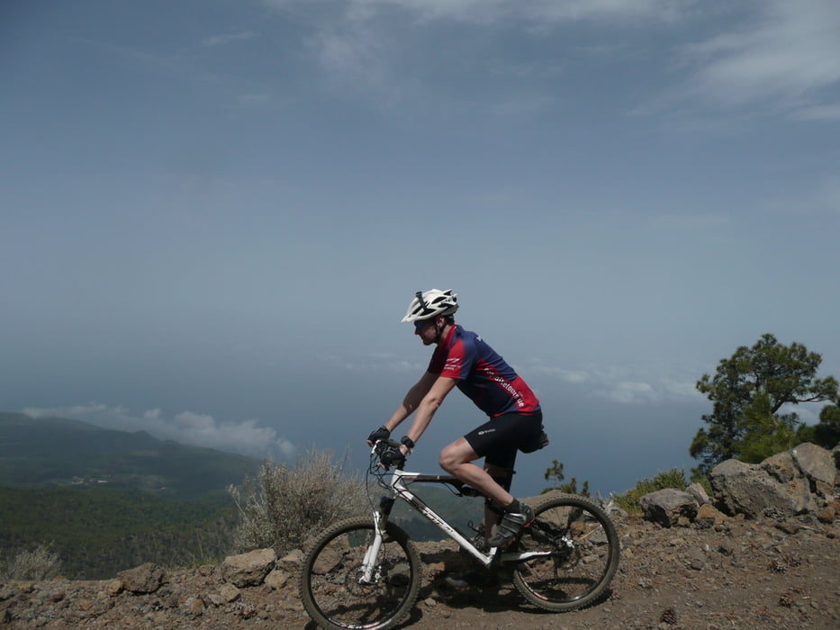
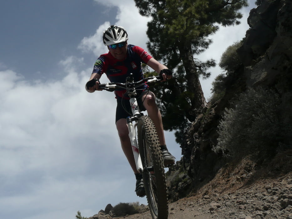
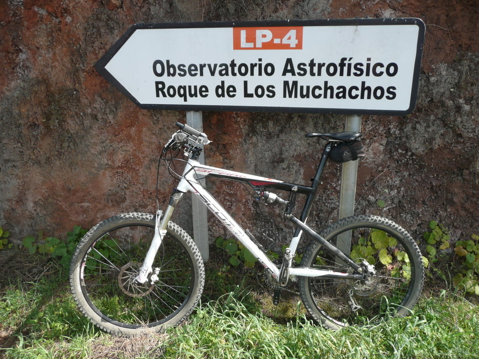
Briesta Start – Abzweiger Teerstraße zum Roque – Abzweiger Observatorien – Gipfel Roque de Los Muchachos – zurück zur Teerstraße – Mirador de los Andenes – Forstpiste Downhill – Ankunft Teerstraße LP 111 – LP 1 - Roque Faro – Abzweiger Forstweg – Teerstraße Roque – Downhill – LP 1 nach Briesta – Briesta Parkplatz
Further information at
http://www.dailymotion.com/video/x1hbx8c_20140304-la-palma_sportTour gallery

Tour map and elevation profile
Minimum height 993 m
Maximum height 2430 m
More about the tour author
|
|
hegi |
Comments

Start am Restaurante Briesta / Gegenüber gibts einige Parkplätze
GPS tracks
Trackpoints-
GPX / Garmin Map Source (gpx) download
-
TCX / Garmin Training Center® (tcx) download
-
CRS / Garmin Training Center® (crs) download
-
Google Earth (kml) download
-
G7ToWin (g7t) download
-
TTQV (trk) download
-
Overlay (ovl) download
-
Fugawi (txt) download
-
Kompass (DAV) Track (tk) download
-
Track data sheet (pdf) download
-
Original file of the author (gpx) download
More about the tour author
|
|
hegi |
Add to my favorites
Remove from my favorites
Edit tags
Open track
My score
Rate