


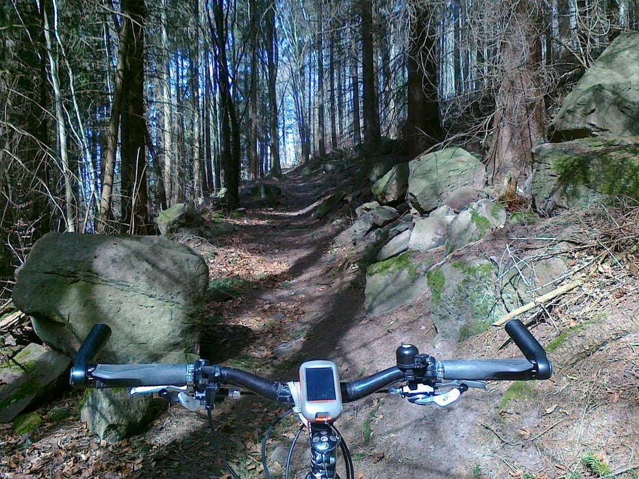
Von Weil der Stadt den Würmtalradweg runter. Kleiner Trailabstecher am Bildstöckle.
Bei Würm den Tiroler- und den Würmerlochweg hoch. In Hohenwart (Nomen est omen) kann man die Aussicht vom Turm genießen.
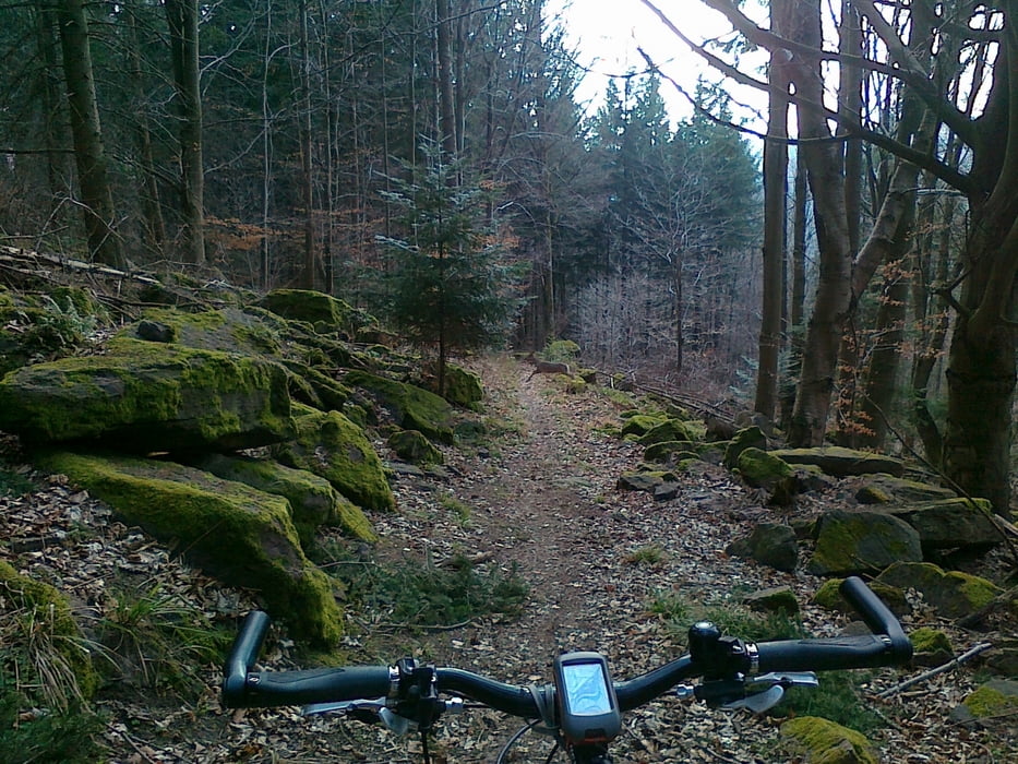
Dann Trailabfahrt ins Nagoldtal. Weiter über Forstweg ins Monbachtal (Rastmöglichkeit).
Teilweise über Trails hoch bis zum Golfplatz Monakam.
Übers Möttlinger Hörnel mit anschließender Abfahrt nach Simozheim zurück nach Weil der Stadt (Forst-, Feld- und Radwege).
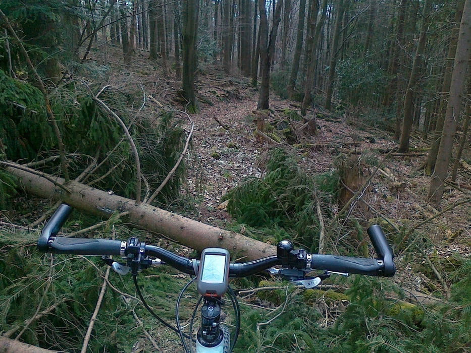
Seltenes Schauspiel bei dieser Tour: zwei Rehe kreuzten meinen Weg. Der geneigte Betrachter kann das Reh auf Bild 4 etwa in Bildmitte erkennen.
Viel Spaß beim nachfahren!!!
Tour gallery
Tour map and elevation profile
Minimum height 319 m
Maximum height 581 m
More about the tour author

|
hotchillyred |
Comments

GPS tracks
Trackpoints-
GPX / Garmin Map Source (gpx) download
-
TCX / Garmin Training Center® (tcx) download
-
CRS / Garmin Training Center® (crs) download
-
Google Earth (kml) download
-
G7ToWin (g7t) download
-
TTQV (trk) download
-
Overlay (ovl) download
-
Fugawi (txt) download
-
Kompass (DAV) Track (tk) download
-
Track data sheet (pdf) download
-
Original file of the author (gpx) download
More about the tour author
|
|
hotchillyred |
Add to my favorites
Remove from my favorites
Edit tags
Open track
My score
Rate