


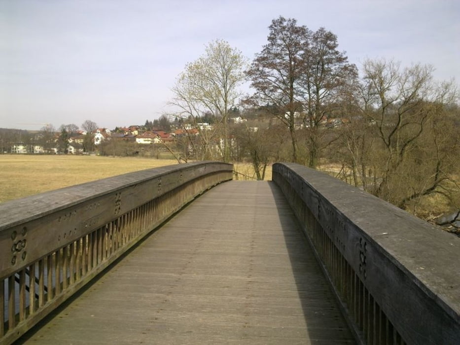
Leichte Runde zum Einrollen im Frühjahr, wenn sich Rad und Fahrer erst mal wieder aneinander gewöhnen müssen. Bei sonnigem Wetter lohnt sich die Einkehr in der Wasserwirtschaft. Die Route verläuft bis auf einige kurze Abschnitte fast ausschlißlich auf Asphalt und ist mit einem Treckingrad ebenso befahrbar.
Further information at
http://www.wasserwirtschaft-cham.deTour gallery
Tour map and elevation profile
Minimum height 367 m
Maximum height 410 m
More about the tour author

|
grenz-pfad-fahrer |
Comments

Anfahrt mit Rad oder Bahn zum Bahnhof Furth im Wald.
GPS tracks
Trackpoints-
GPX / Garmin Map Source (gpx) download
-
TCX / Garmin Training Center® (tcx) download
-
CRS / Garmin Training Center® (crs) download
-
Google Earth (kml) download
-
G7ToWin (g7t) download
-
TTQV (trk) download
-
Overlay (ovl) download
-
Fugawi (txt) download
-
Kompass (DAV) Track (tk) download
-
Track data sheet (pdf) download
-
Original file of the author (gpx) download
More about the tour author
|
|
grenz-pfad-fahrer |
Add to my favorites
Remove from my favorites
Edit tags
Open track
My score
Rate