Login

Forgot your login?

Cookies have to be accepted!
Your browser's cookie functionality is disabled. Please enable this functionality.

Not a member yet?

Register now
Login

Available for registred users only

Log in to use this feature.

Forgot your login?

Cookies have to be accepted!
Your browser's cookie functionality is disabled. Please enable this functionality.

Not a member yet?

Register now
Filter
Categories
Advanced filters
  • Distance (km)
  • Height
Save filters Reset filter

TrackRank

QRCode

Technical data

Distance25,2 km Height303 m Way down309 m Duration01:20 h:m Date31.03.2012
Scores Author Landscape Fun factor Fitness Technique

Statistics

191 Views Scores 42 Downloads Average
Rate
  • Track data sheet
  • Directions
  • Downloads
Rund um Daberg und Drachensee. Teils auf Grenzpfaden.

Further information at

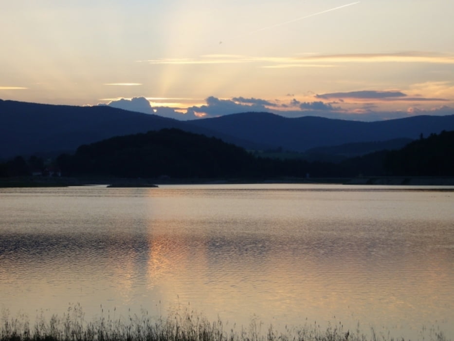
http://de.wikipedia.org/wiki/Hochwasserspeicher_Furth_im_Wald

Tour gallery

Tour map and elevation profile

  • Open Street Map
  • Google
Minimum height 381 m Maximum height 504 m Detailed view

More about the tour author

grenz-pfad-fahrer
Member since 2009

Send private message

Comments

Start am Bayplatz in Furth im Wald.

GPS tracks

Trackpoints
  • GPX / Garmin Map Source (gpx) download
  • TCX / Garmin Training Center® (tcx) download
  • CRS / Garmin Training Center® (crs) download
  • Google Earth (kml) download
  • G7ToWin (g7t) download
  • TTQV (trk) download
  • Overlay (ovl) download
  • Fugawi (txt) download
  • Kompass (DAV) Track (tk) download
  • Track data sheet (pdf) download
  • Original file of the author (gpx) download

More about the tour author

grenz-pfad-fahrer
Member since 2009

Send private message
Share track
Add to my favorites
Remove from my favorites
Edit tags
My score
Rate
Track: Rund um Daberg
Type: Mountain bike
Distance: 25,2 km
Evaluated on:
Duration:
Day(s)
Hour(s)
Minute(s)
Score: Landscape Fun factor Fitness Technique