


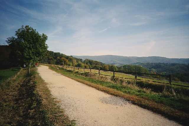
Die Tour führt auf überwiegend gut zu befahrenen Wegen von Jugenheim über Alsbach am Melibokus vorbei Richtung Süden. Zurück geht es durch die Weinberge der Hessischen Bergstraße und ist daher besonders im Herbst zu empfehlen.
Die Strecke:
Jugenheim, Alsbach, Comoder Weg, Marmorwerk, Fürstenlager, Wilmshausen, Schneckenberg, Zell, Falkenhof, Weinberge Bensheim, Auerbach, Zwigenberg, Alsbach u. Jugenheim
Die Tour wird auch von den http://www.sporttogether.de angeboten.
Die Strecke:
Jugenheim, Alsbach, Comoder Weg, Marmorwerk, Fürstenlager, Wilmshausen, Schneckenberg, Zell, Falkenhof, Weinberge Bensheim, Auerbach, Zwigenberg, Alsbach u. Jugenheim
Die Tour wird auch von den http://www.sporttogether.de angeboten.
Further information at
http://www.sporttogether.deTour gallery
Tour map and elevation profile
Minimum height 106 m
Maximum height 308 m
More about the tour author

|
Karl |
Comments

A5, Ausfahrt Seeheim-Jugenheim, Richtung Seeheim-Jugenheim immer geradeaus. Man kommt direkt nach Seeheim-Jugenheim Ortsteil Jugenheim. Über die Straßenbahnschienen, dann noch ca. 150m
Treffpunkt ist das Bistro Villa Journal.
Treffpunkt ist das Bistro Villa Journal.
GPS tracks
Trackpoints-
GPX / Garmin Map Source (gpx) download
-
TCX / Garmin Training Center® (tcx) download
-
CRS / Garmin Training Center® (crs) download
-
Google Earth (kml) download
-
G7ToWin (g7t) download
-
TTQV (trk) download
-
Overlay (ovl) download
-
Fugawi (txt) download
-
Kompass (DAV) Track (tk) download
-
Track data sheet (pdf) download
-
Original file of the author (g7t) download
More about the tour author
|
|
Karl |
Add to my favorites
Remove from my favorites
Edit tags
Open track
My score
Rate