Login

Forgot your login?

Cookies have to be accepted!
Your browser's cookie functionality is disabled. Please enable this functionality.

Not a member yet?

Register now
Login

Available for registred users only

Log in to use this feature.

Forgot your login?

Cookies have to be accepted!
Your browser's cookie functionality is disabled. Please enable this functionality.

Not a member yet?

Register now
Filter
Categories
Advanced filters
  • Distance (km)
  • Height
Save filters Reset filter

TrackRank

QRCode

Technical data

Distance53,1 km Height576 m Way down587 m Duration04:00 h:m Date08.04.2012
Scores Author Landscape Fun factor Fitness Technique

Statistics

567 Views Scores 56 Downloads Average
Rate
  • Track data sheet
  • Directions
  • Downloads
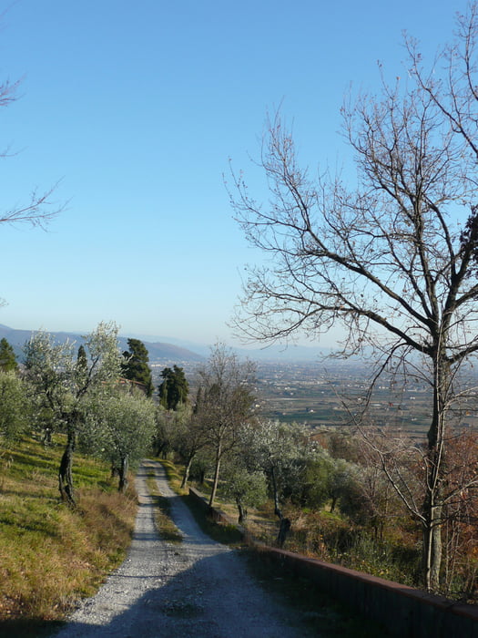
Percorso iniziale in pianura, poi su strada sterrata fino in quota, discesa fino a Pistoia su fondo misto.
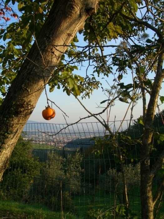
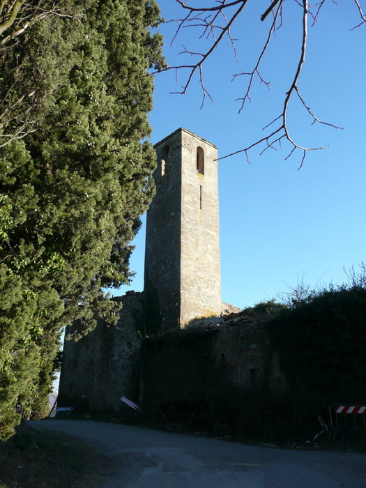
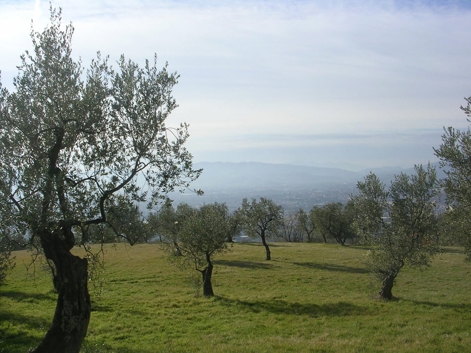
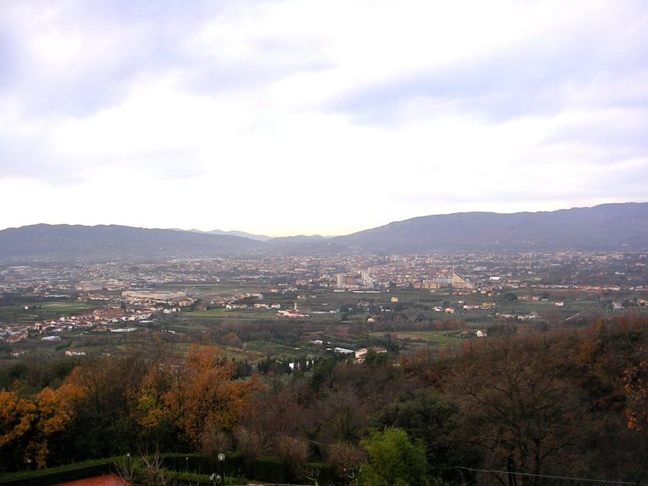
Tour gallery

Tour map and elevation profile

  • Open Street Map
  • Google
Minimum height 39 m Maximum height 492 m Detailed view

More about the tour author

daniele325
Member since 2012

Send private message

Comments

Partenza dalla Stazione di Montale (Pt)

GPS tracks

Trackpoints
  • GPX / Garmin Map Source (gpx) download
  • TCX / Garmin Training Center® (tcx) download
  • CRS / Garmin Training Center® (crs) download
  • Google Earth (kml) download
  • G7ToWin (g7t) download
  • TTQV (trk) download
  • Overlay (ovl) download
  • Fugawi (txt) download
  • Kompass (DAV) Track (tk) download
  • Track data sheet (pdf) download
  • Original file of the author (gpx) download

More about the tour author

daniele325
Member since 2012

Send private message
Share track
Add to my favorites
Remove from my favorites
Edit tags
My score
Rate
Track: Agliana - Montale - Pistoia
Type: Mountain bike
Distance: 53,1 km
Evaluated on:
Duration:
Day(s)
Hour(s)
Minute(s)
Score: Landscape Fun factor Fitness Technique