


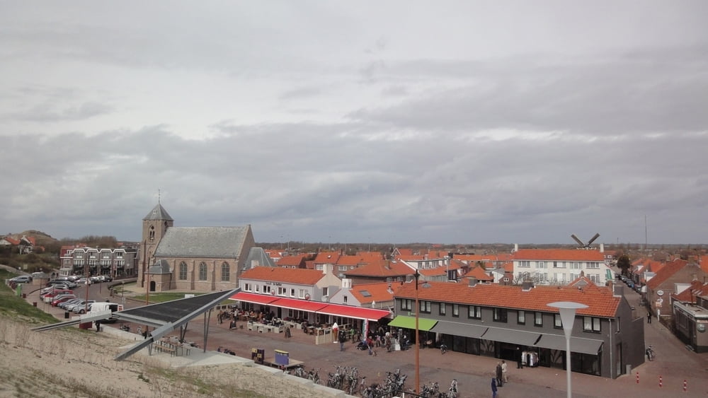
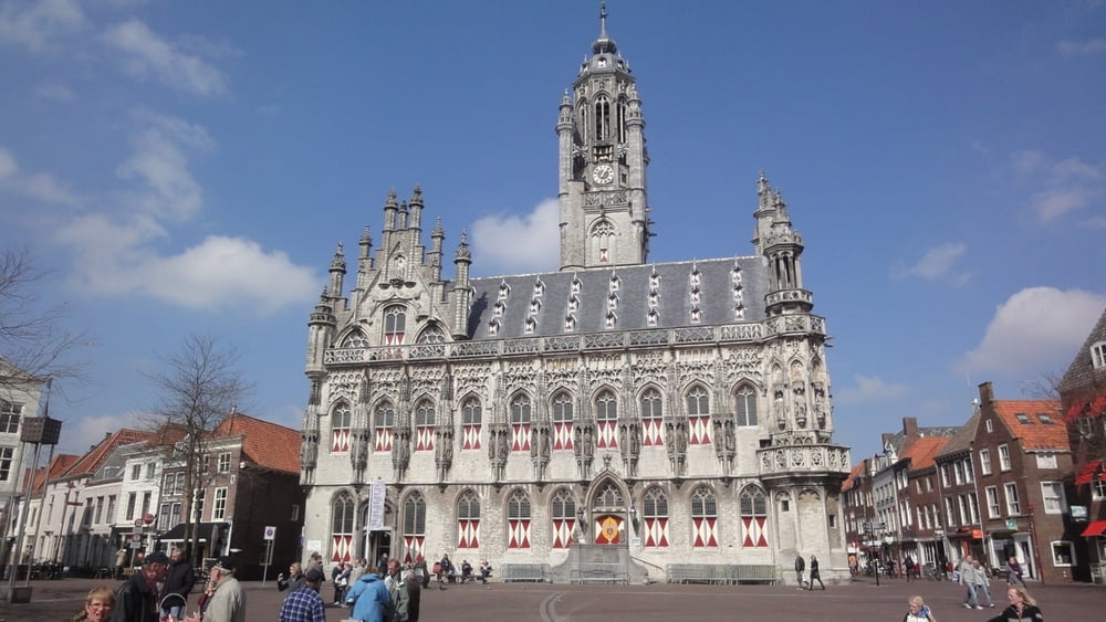
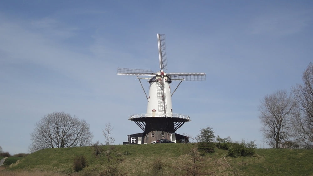
Die Tour startet in Oostkapelle und führt gegen den Uhrzeigersinn um Walcheren herum. Dabei passiert man zunächst immer entlang der Dünen Domburg, dann Westkapelle, Zoutelande,
Middlelburg und Veere. Schliesslich gelangt man zurück nach Oostkapelle. Vlissingen ganz im Süden wird bei dieser Tour ausgespart. Die Route verläuft größtenteils über leicht fahrbare asphaltierte Radwege. Man kann die Tour natürlich genausogut andersherum fahren oder auch in Westkapelle, Zoutelande, Domburg, Veere oder Middelburg starten.
Middlelburg und Veere. Schliesslich gelangt man zurück nach Oostkapelle. Vlissingen ganz im Süden wird bei dieser Tour ausgespart. Die Route verläuft größtenteils über leicht fahrbare asphaltierte Radwege. Man kann die Tour natürlich genausogut andersherum fahren oder auch in Westkapelle, Zoutelande, Domburg, Veere oder Middelburg starten.
Tour gallery

Tour map and elevation profile
Minimum height -13 m
Maximum height 12 m
More about the tour author
|
|
ralph.trapp |
Comments

Von der Autobahn fährt man bei Middelburg ab und fährt Richtung Oostkapelle. Am besten man sucht sich in Oostkapelle einen Parkplatz und fährt dann
mit dem Rad Richtung Strand. Man kann die Tour aber auch in Zoutelande, Westkapelle, Domburg, Veere oder Middelburg starten.
mit dem Rad Richtung Strand. Man kann die Tour aber auch in Zoutelande, Westkapelle, Domburg, Veere oder Middelburg starten.
GPS tracks
Trackpoints-
GPX / Garmin Map Source (gpx) download
-
TCX / Garmin Training Center® (tcx) download
-
CRS / Garmin Training Center® (crs) download
-
Google Earth (kml) download
-
G7ToWin (g7t) download
-
TTQV (trk) download
-
Overlay (ovl) download
-
Fugawi (txt) download
-
Kompass (DAV) Track (tk) download
-
Track data sheet (pdf) download
-
Original file of the author (gpx) download
More about the tour author
|
|
ralph.trapp |
Add to my favorites
Remove from my favorites
Edit tags
Open track
My score
Rate