Login

Forgotten password?

Cookies have to be accepted!
Your browser's cookie functionality is disabled. Please enable this functionality.

Not a member yet?

Register now
Login

Available for registred users only

Log in to use this feature.

Forgotten password?

Cookies have to be accepted!
Your browser's cookie functionality is disabled. Please enable this functionality.

Not a member yet?

Register now
Filter
Categories
Advanced filters
  • Distance (km)
  • Height
Save filters Reset filter

TrackRank

QRCode

Technical data

Distance8,0 km Height172 m Way down182 m Duration05:00 h:m Date09.04.2012
Scores Author Landscape Fun factor Fitness Technique

Statistics

2044 Views Scores 44 Downloads Average
Rate
  • Track data sheet
  • Directions
  • Downloads
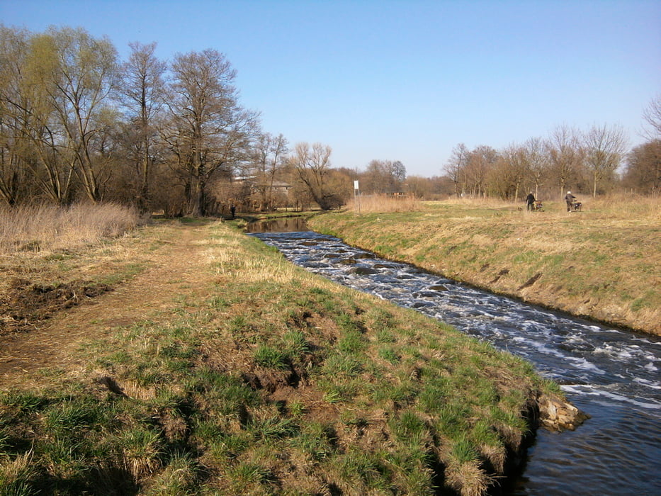
Ein schöner Spaziergang (8 km) durch das idyllische Erpetal - Start am S-Bhf Hirschgarten - Ziel ist der S-Bhf Friedrichshagen.

Further information at

http://www.waldesruh-hoppegarten.de/portrait-einer-landschaft.php

Tour gallery

Tour map and elevation profile

  • Open Street Map
  • Google
Minimum height 45 m Maximum height 116 m Detailed view

More about the tour author

xxrhahn
Member since 2011

Send private message

Comments

An- und Abfahrt mit der S-Bahn

GPS tracks

Trackpoints
  • GPX / Garmin Map Source (gpx) download
  • TCX / Garmin Training Center® (tcx) download
  • CRS / Garmin Training Center® (crs) download
  • Google Earth (kml) download
  • G7ToWin (g7t) download
  • TTQV (trk) download
  • Overlay (ovl) download
  • Fugawi (txt) download
  • Kompass (DAV) Track (tk) download
  • Track data sheet (pdf) download
  • Original file of the author (gpx) download

More about the tour author

xxrhahn
Member since 2011

Send private message
Share track
Add to my favorites
Remove from my favorites
Edit tags
My score
Rate
Track: Erpetal
Type: Hiking
Distance: 8,0 km
Evaluated on:
Duration:
Day(s)
Hour(s)
Minute(s)
Score: Landscape Fun factor Fitness Technique