


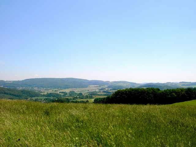
Die Tour führt im Nord-Westen des Odenwalds entlag des zweiten Bergkamms zwischen der Rheineben und dem Odenwald. Dadurch hat man einen wunderschönen Ausblicke auf die Rheinebene bis zum Taunus, Donnersberg und Frankfurt.
Es werden nur gut ausgebaute Feld und Waldwege befahren.
Die Strecke:
Eberstadt, Frankenhausen, Neutscher Höhe, Steigerts, Kuralpe, Heiligenberg, Jugenheim, Seeheim, Malchen u. Eberstadt
Die Tour wird auch von den http://www.sporttogether.de angeboten.
Es werden nur gut ausgebaute Feld und Waldwege befahren.
Die Strecke:
Eberstadt, Frankenhausen, Neutscher Höhe, Steigerts, Kuralpe, Heiligenberg, Jugenheim, Seeheim, Malchen u. Eberstadt
Die Tour wird auch von den http://www.sporttogether.de angeboten.
Further information at
http://www.sporttogether.deTour gallery
Tour map and elevation profile
Minimum height 105 m
Maximum height 438 m
More about the tour author

|
Karl |
Comments
A5, Ausfahrt Pfungstadt, Richtung Stadtmitte Eberstadt bis zur S-Bahn Haltestelle Wartehalle
GPS tracks
Trackpoints-
GPX / Garmin Map Source (gpx) download
-
TCX / Garmin Training Center® (tcx) download
-
CRS / Garmin Training Center® (crs) download
-
Google Earth (kml) download
-
G7ToWin (g7t) download
-
TTQV (trk) download
-
Overlay (ovl) download
-
Fugawi (txt) download
-
Kompass (DAV) Track (tk) download
-
Track data sheet (pdf) download
-
Original file of the author (g7t) download
More about the tour author
|
|
Karl |
Add to my favorites
Remove from my favorites
Edit tags
Open track
My score
Rate
Feierabendtour?