
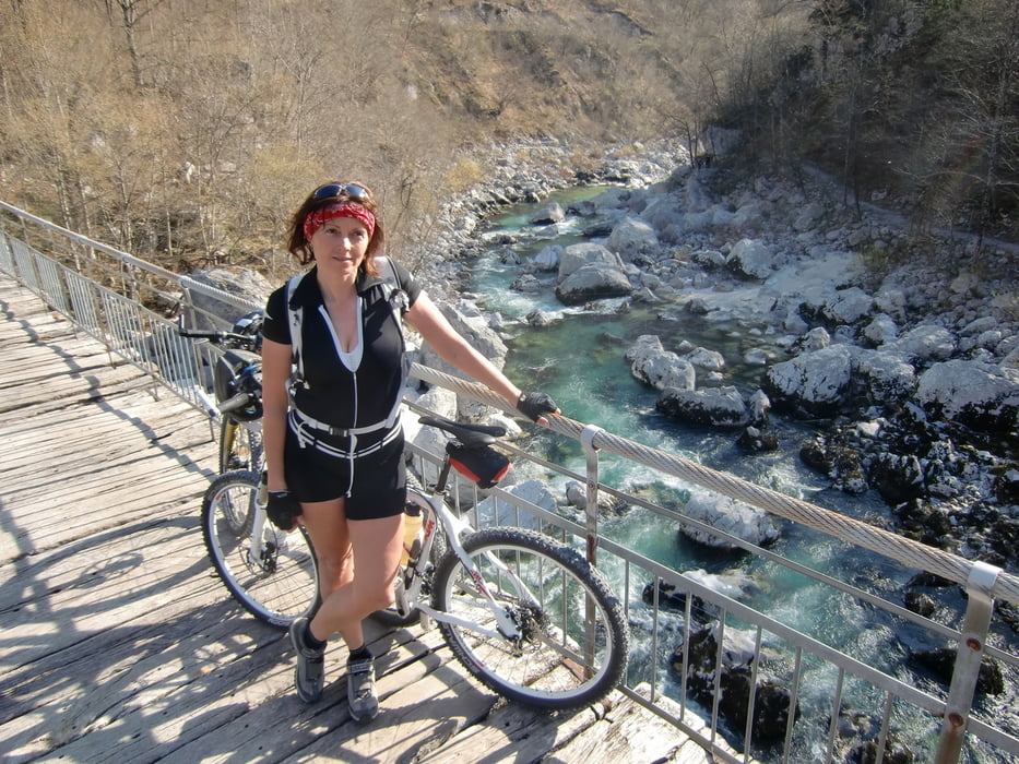

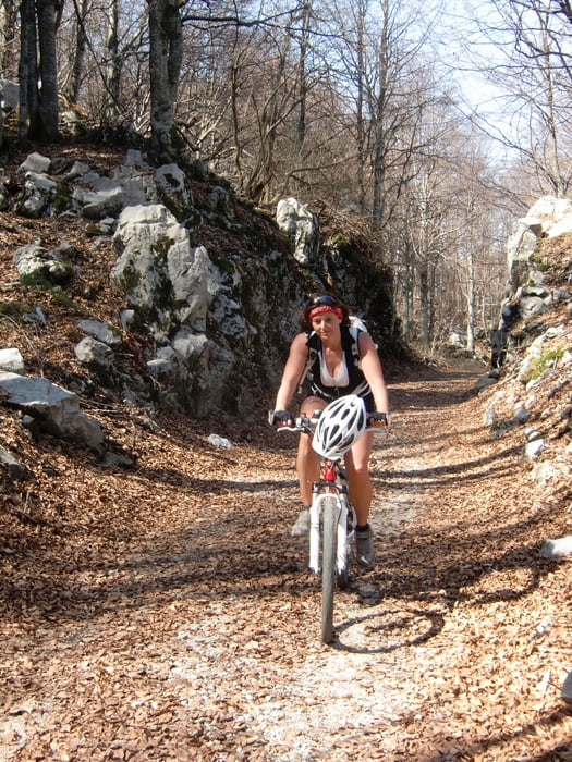
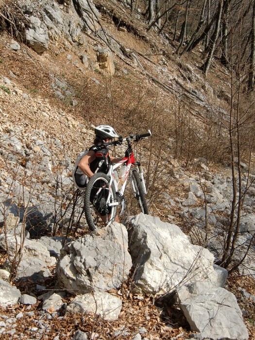
Abwechslungsreiche ,, Klasiker,, Anstrengende Anfahrt nach Zarga auf Schotterwegen und Trails im Soca-Tal ..Eigentliche Auffahrt im ersten Teil unproblematisch auf Asphalt, im zweiten Teil etwas mühsamer auf alter Militärpiste( Schotter).Anfangs genussvolle Abfahrt am Bergrücken auf einfachen Wegen mit beeindruckenden Ausblicken. Zweiter Teil steil und anspruchsvoll, auf altem steinigem Weg nach Staro Selo,von dort auf der Straße zurück nach Kobarit
Tour gallery


Tour map and elevation profile
Minimum height 215 m
Maximum height 1377 m
More about the tour author
|
|
Mountainbikegirl |
Comments

GPS tracks
Trackpoints-
GPX / Garmin Map Source (gpx) download
-
TCX / Garmin Training Center® (tcx) download
-
CRS / Garmin Training Center® (crs) download
-
Google Earth (kml) download
-
G7ToWin (g7t) download
-
TTQV (trk) download
-
Overlay (ovl) download
-
Fugawi (txt) download
-
Kompass (DAV) Track (tk) download
-
Track data sheet (pdf) download
-
Original file of the author (gpx) download
More about the tour author
|
|
Mountainbikegirl |
Add to my favorites
Remove from my favorites
Edit tags
Open track
My score
Rate