


8.4.2012
Toš tak. :-D Fúkal celkom silný SZ vietor. Po NZ pekne po vetre, priemerka 30. No potom prišli kopce a bočný protivietor. Úplná marha. Do VK som mal neskutočnú krízu. Pôvodne som chcel nocovať tam, ale do LC to bola hoďka a pol, čo akurát vychádzalo do zotmenia a aspoň by to oblo zajtra bližšie. Tak som potiahol. Kríza tiež pominula, vidina ubytka a horúcej sprchy ma hnala vpred. V LC som sa opýtal na benzínke, kde sa lacno vyspím, a tak som skončil v hoteli Pelikán. Recepčná sa ma aj pýtala, či pôjdem na diskotéku, že miss mokré tričko bude. Ha-ha... Na "večeru" som si dal Vextíkov, nejaký keksík, brusnice, stiahol fruko a šiel spať.
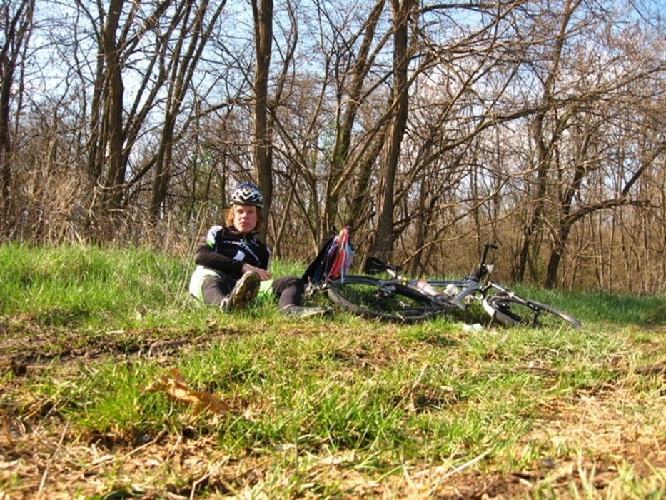
Tour gallery
Tour map and elevation profile
Minimum height 187 m
Maximum height 604 m
More about the tour author
|
|
tmax |
Comments

BA-Dlhé Diely
GPS tracks
Trackpoints-
GPX / Garmin Map Source (gpx) download
-
TCX / Garmin Training Center® (tcx) download
-
CRS / Garmin Training Center® (crs) download
-
Google Earth (kml) download
-
G7ToWin (g7t) download
-
TTQV (trk) download
-
Overlay (ovl) download
-
Fugawi (txt) download
-
Kompass (DAV) Track (tk) download
-
Track data sheet (pdf) download
-
Original file of the author (gpx) download
More about the tour author
|
|
tmax |
Add to my favorites
Remove from my favorites
Edit tags
Open track
My score
Rate