
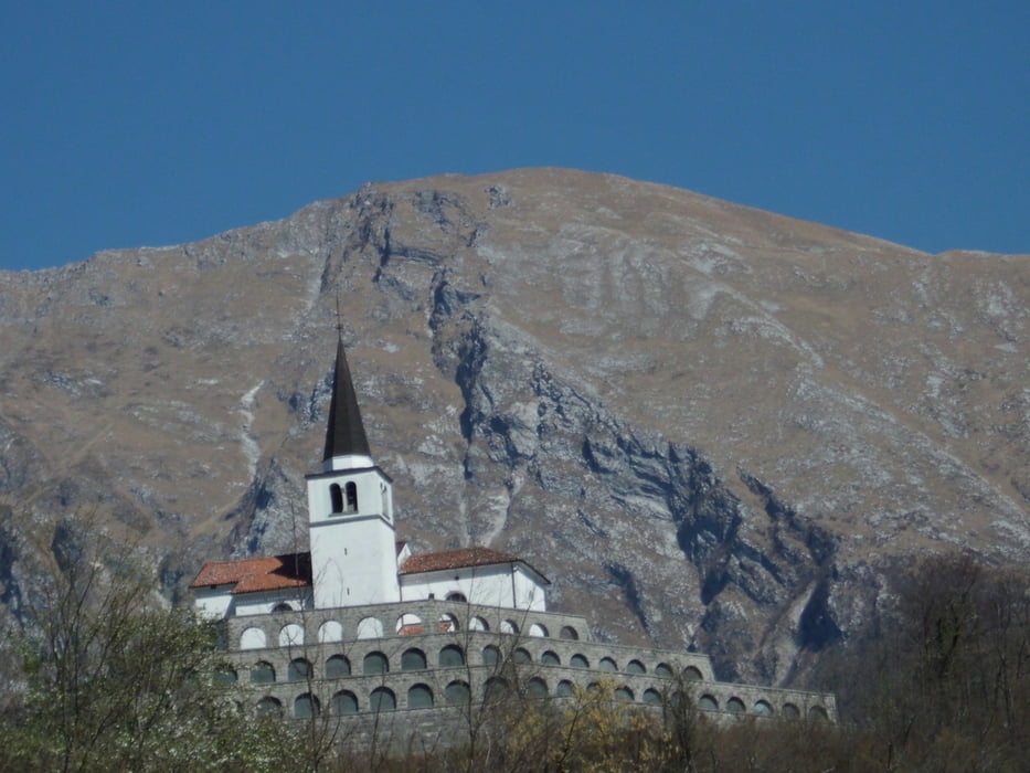

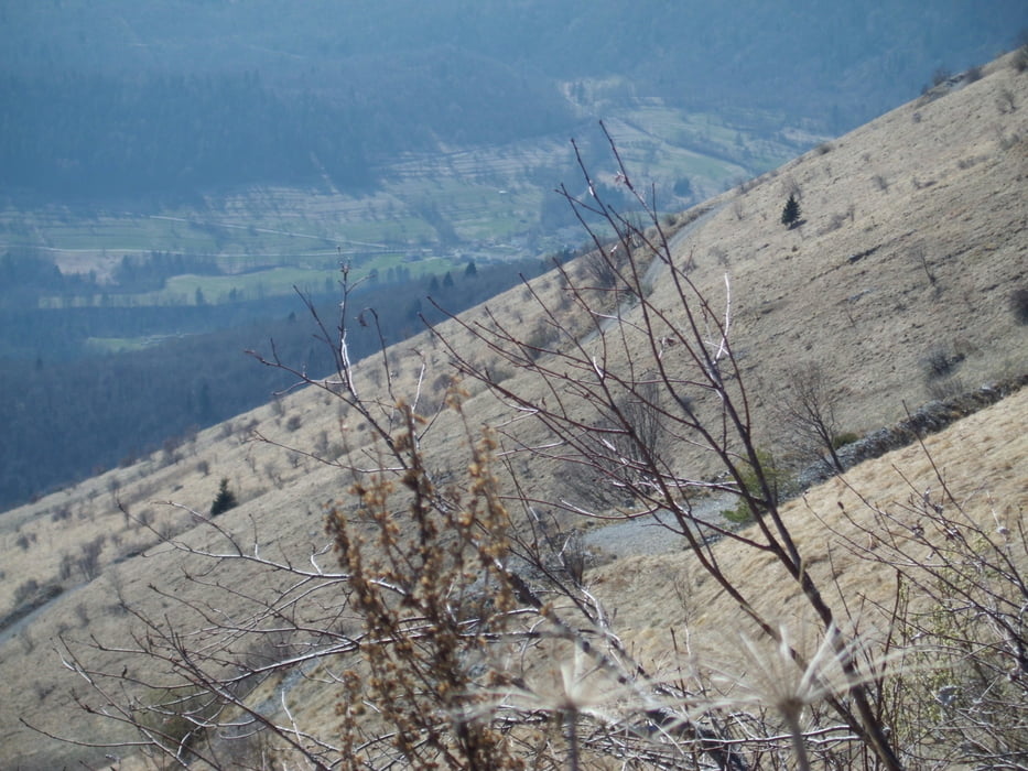
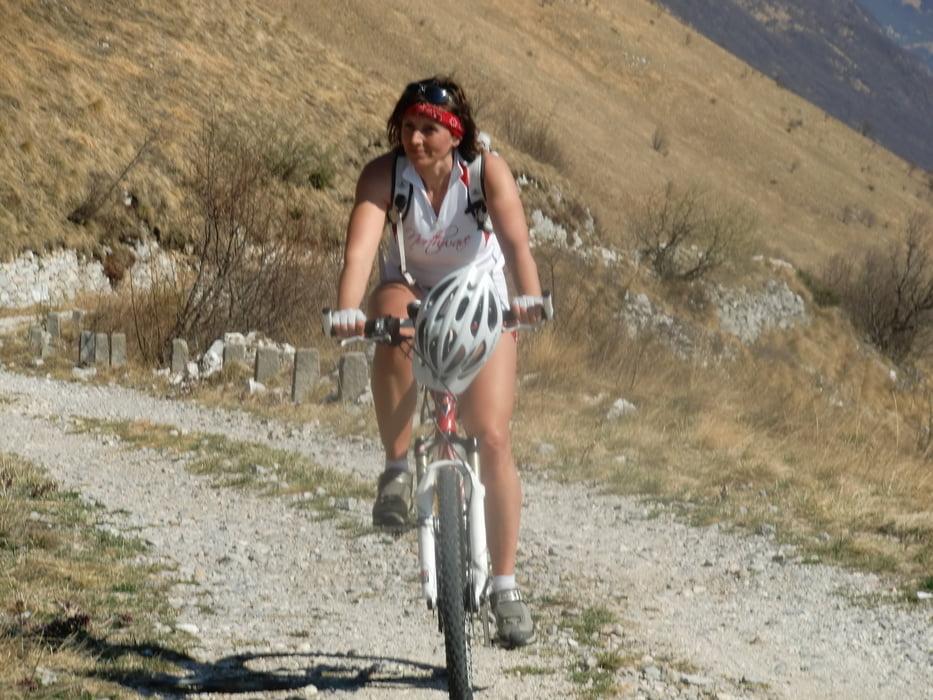
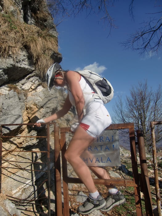
Lange,sonnenausgesetzte und konditionell anspruchsvolle Auffahrt,erst auf Asphalt,später auf der wunderschönen angelegten,alten Militärstraße an den Südhängen des Stol..Genußvolle Abfahrtam Bergrücken über schöne Hochweiden mit tollen Ausblick.Weitere Abfahrt größtenteils auf Forstweg, im unteren Teil auf altem gepflasterten Maultierpfad nach Trnovo...Im Wechsel von Schotter, Trail und Asphalt an der Soca entlang zurück nach Kobarid..
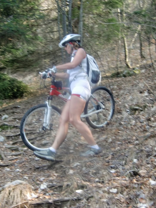
Tour gallery
Tour map and elevation profile
Minimum height 239 m
Maximum height 1400 m
More about the tour author
|
|
Mountainbikegirl |
Comments

GPS tracks
Trackpoints-
GPX / Garmin Map Source (gpx) download
-
TCX / Garmin Training Center® (tcx) download
-
CRS / Garmin Training Center® (crs) download
-
Google Earth (kml) download
-
G7ToWin (g7t) download
-
TTQV (trk) download
-
Overlay (ovl) download
-
Fugawi (txt) download
-
Kompass (DAV) Track (tk) download
-
Track data sheet (pdf) download
-
Original file of the author (gpx) download
More about the tour author
|
|
Mountainbikegirl |
Add to my favorites
Remove from my favorites
Edit tags
Open track
My score
Rate