


Trainingscamp "Malle für Alle" Rennradtour (105 km) in zwei Schleifen
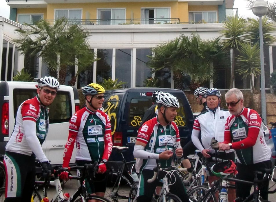
Start/Ziel an der Playa de Palma; Beginn der Aufzeichnung am Hotel TIMOR (bei Fred Rompelberg); Start 10 h (s.Foto); Abfahrt in zwei Gruppen; anspruchsvoll für Schnelle Hirsche (hier aufgezeichnet) oder mit Abkürzungen für Rouleure (80 km)
Gemeinsam über Flughafen-Route bis zum Kreisverkehr bei Marratxi (20 km); dort Gruppentrennung.
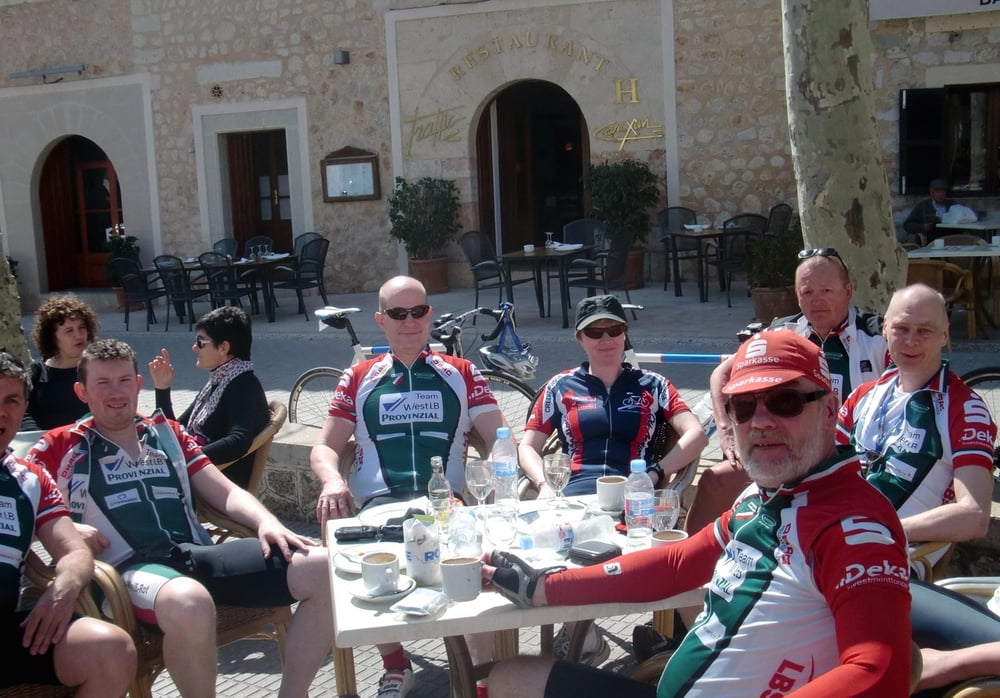
Die schnellen Hirsche fahren Richtung Bunyola in einer Schleife über die Berge (Orient) bis Alaró. Die Cappuccino-Fahrer nehmen eine Abkürzung über Santa Maria. Gemeinsame Mittagspause auf dem Marktplatz in Alaró (s.Foto).
Gemeinsam weiter über Consell, Algaida bis Llucmajor; dort Kaffeepause und erneute Gruppenteilung
Die Runner gönnen sich noch eine Speed-Schleife über Cami de Sa Torre und Hotel DELTA, während die Cappuccinos direktemang neben der Autobahn zurück rollen zur Playa de Palma.
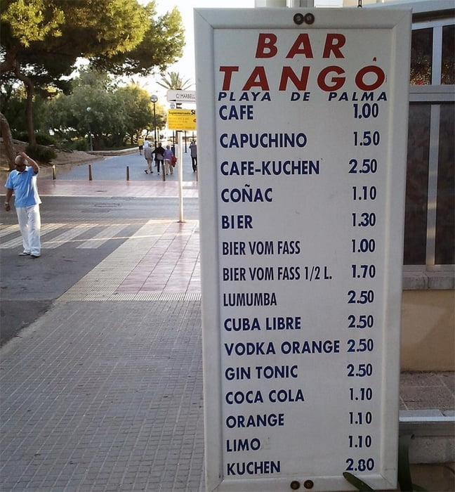
In der Tango-Bar (s. Foto) ist man wieder vereint, nimmt Siegerpokale entgegen und hat "vill zo verzälle".
Further information at
http://www.reble.net/radsport/Tour gallery
Tour map and elevation profile
Minimum height -1 m
Maximum height 565 m
More about the tour author
|
|
Bruno |
Comments

GPS tracks
Trackpoints-
GPX / Garmin Map Source (gpx) download
-
TCX / Garmin Training Center® (tcx) download
-
CRS / Garmin Training Center® (crs) download
-
Google Earth (kml) download
-
G7ToWin (g7t) download
-
TTQV (trk) download
-
Overlay (ovl) download
-
Fugawi (txt) download
-
Kompass (DAV) Track (tk) download
-
Track data sheet (pdf) download
-
Original file of the author (gpx) download
More about the tour author
|
|
Bruno |
Add to my favorites
Remove from my favorites
Edit tags
Open track
My score
Rate