

Spittal-Lieserbrücke-Altersberg-Bergfriedhütte-
Trebesing-Spittal
leider zu viel Straße, findet man sicher eine
ruhigere Route mit dem gleichen
lohnenswerten Ziel.
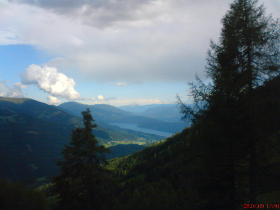
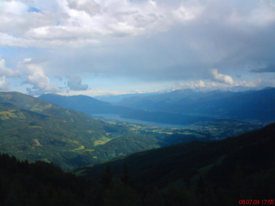
Tour gallery
Tour map and elevation profile
Minimum height 559 m
Maximum height 1771 m
More about the tour author
|
|
mitter |
Comments

Spittal beim Spital
GPS tracks
Trackpoints-
GPX / Garmin Map Source (gpx) download
-
TCX / Garmin Training Center® (tcx) download
-
CRS / Garmin Training Center® (crs) download
-
Google Earth (kml) download
-
G7ToWin (g7t) download
-
TTQV (trk) download
-
Overlay (ovl) download
-
Fugawi (txt) download
-
Kompass (DAV) Track (tk) download
-
Track data sheet (pdf) download
-
Original file of the author (gpx) download
More about the tour author
|
|
mitter |
Add to my favorites
Remove from my favorites
Edit tags
Open track
My score
Rate