Login

Forgot your login?

Cookies have to be accepted!
Your browser's cookie functionality is disabled. Please enable this functionality.

Not a member yet?

Register now
Login

Available for registred users only

Log in to use this feature.

Forgot your login?

Cookies have to be accepted!
Your browser's cookie functionality is disabled. Please enable this functionality.

Not a member yet?

Register now
Filter
Categories
Advanced filters
  • Distance (km)
  • Height
Save filters Reset filter

TrackRank

QRCode

Technical data

Distance40,3 km Height1115 m Way down2015 m Duration00:00 h:m Date15.04.2012
Scores Author Landscape Fun factor Fitness Technique

Statistics

1649 Views Scores 260 Downloads Average
Rate
  • Track data sheet
  • Directions
  • Downloads
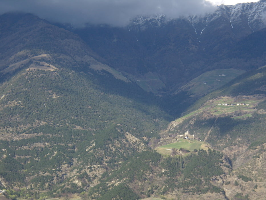
Noch ein neuer Megatrail vom Vinschgau. Der Trail wurde im Winter fertiggestellt. einmalig - alles dabei holprig bis vielleicht leichte S2 Stellen der Rest S1 und S0 zum krachenlassen. Leider trotz der vielen Höhenmeter viel zu kurz - könnt ich 5mal am Tag mitnehmen.

Tour gallery

Tour map and elevation profile

  • Open Street Map
  • Google
Minimum height 573 m Maximum height 1624 m Detailed view

More about the tour author

batman11
Member since 2008

Send private message

Comments

GPS tracks

Trackpoints
  • GPX / Garmin Map Source (gpx) download
  • TCX / Garmin Training Center® (tcx) download
  • CRS / Garmin Training Center® (crs) download
  • Google Earth (kml) download
  • G7ToWin (g7t) download
  • TTQV (trk) download
  • Overlay (ovl) download
  • Fugawi (txt) download
  • Kompass (DAV) Track (tk) download
  • Track data sheet (pdf) download
  • Original file of the author (gpx) download

More about the tour author

batman11
Member since 2008

Send private message
Share track
Add to my favorites
Remove from my favorites
Edit tags
My score
Rate
Track: Supertrail Holy Hansen
Type: Mountain bike
Distance: 40,3 km
Evaluated on:
Duration:
Day(s)
Hour(s)
Minute(s)
Score: Landscape Fun factor Fitness Technique