Login

Forgot your login?

Cookies have to be accepted!
Your browser's cookie functionality is disabled. Please enable this functionality.

Not a member yet?

Register now
Login

Available for registred users only

Log in to use this feature.

Forgot your login?

Cookies have to be accepted!
Your browser's cookie functionality is disabled. Please enable this functionality.

Not a member yet?

Register now
Filter
Categories
Advanced filters
  • Distance (km)
  • Height
Save filters Reset filter

TrackRank

QRCode

Technical data

Distance106,4 km Height1178 m Way down1231 m Duration04:30 h:m Date15.04.2012
Scores Author Landscape Fun factor Fitness Technique

Statistics

173 Views Scores 37 Downloads Average
Rate
  • Track data sheet
  • Directions
  • Downloads
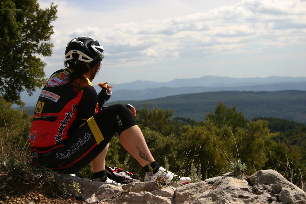
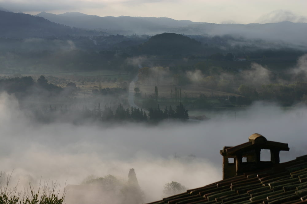
Start und Ziel am Dorfbrunnen in Moissac Bellevue. Mittelschwere Rennradtour auf die Höhen über dem Durance-Tal mit kurzem Abstecher ins Departement Bouches du Rhone. Einsame Landschaften, malerische provenzalische Dörfer.

Tour gallery

Tour map and elevation profile

  • Open Street Map
  • Google
Minimum height 290 m Maximum height 623 m Detailed view

More about the tour author

powerhuehnle
Member since 2009

Send private message

Comments

GPS tracks

Trackpoints
  • GPX / Garmin Map Source (gpx) download
  • TCX / Garmin Training Center® (tcx) download
  • CRS / Garmin Training Center® (crs) download
  • Google Earth (kml) download
  • G7ToWin (g7t) download
  • TTQV (trk) download
  • Overlay (ovl) download
  • Fugawi (txt) download
  • Kompass (DAV) Track (tk) download
  • Track data sheet (pdf) download
  • Original file of the author (gpx) download

More about the tour author

powerhuehnle
Member since 2009

Send private message
Share track
Add to my favorites
Remove from my favorites
Edit tags
My score
Rate
Track: Ausflug ins Departement Bouches du Rhone
Type: Road biking
Distance: 106,4 km
Evaluated on:
Duration:
Day(s)
Hour(s)
Minute(s)
Score: Landscape Fun factor Fitness Technique