


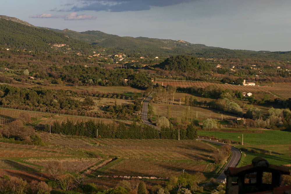
Start und Ziel am Dorfbrunnen in Moissac Bellevue. Eigentlich sollte diese Tour durch die Schlucht des Flusses Nartuby beim Dorf Chateaudouble gehen. Leider haben wir nicht gewusst, dass die D955, die durch die Schlucht führt, nach einem Unwetter im Jahr 2010 gesperrt ist .. wir mussten deswegen von Chateaudouble auf gleicher Strecke zurück bis Ampus. Dann durch das wunderschön gelegene Dorf Tourtour auf einer tollen Panaramastraße nach Aups und zurück nach Moissac.
Tour gallery
Tour map and elevation profile
Minimum height 410 m
Maximum height 856 m
More about the tour author
|
|
powerhuehnle |
Comments

GPS tracks
Trackpoints-
GPX / Garmin Map Source (gpx) download
-
TCX / Garmin Training Center® (tcx) download
-
CRS / Garmin Training Center® (crs) download
-
Google Earth (kml) download
-
G7ToWin (g7t) download
-
TTQV (trk) download
-
Overlay (ovl) download
-
Fugawi (txt) download
-
Kompass (DAV) Track (tk) download
-
Track data sheet (pdf) download
-
Original file of the author (gpx) download
More about the tour author
|
|
powerhuehnle |
Add to my favorites
Remove from my favorites
Edit tags
Open track
My score
Rate