


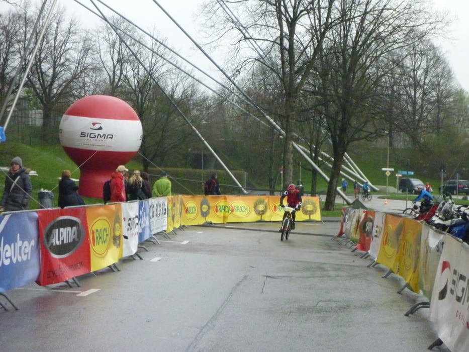
Streckenführung: Nach dem neutralisierten Start auf der Ackermannstrasse führt die Strecke durch die City von München, dem Isartal über den Fröttmanniger Berg, vorbei an der Allianz Arena und der olympischen Ruderregatta-Strecke. Der Kurs stellt technisch keine außergewöhnlichen Anforderungen an die Teilnehmer. Der ideale Einstieg für Freizeitsportler mal sein Hobby unter Wettkampfbedingungen auszuüben.
Further information at
http://www.mountaintrails.deTour gallery
Tour map and elevation profile
Minimum height 465 m
Maximum height 545 m
More about the tour author
|
|
Roadrunner75 |
Comments

Immer zum Olympiastadion > das kennt in München jeder :-)
GPS tracks
Trackpoints-
GPX / Garmin Map Source (gpx) download
-
TCX / Garmin Training Center® (tcx) download
-
CRS / Garmin Training Center® (crs) download
-
Google Earth (kml) download
-
G7ToWin (g7t) download
-
TTQV (trk) download
-
Overlay (ovl) download
-
Fugawi (txt) download
-
Kompass (DAV) Track (tk) download
-
Track data sheet (pdf) download
-
Original file of the author (gpx) download
More about the tour author
|
|
Roadrunner75 |
Add to my favorites
Remove from my favorites
Edit tags
Open track
My score
Rate