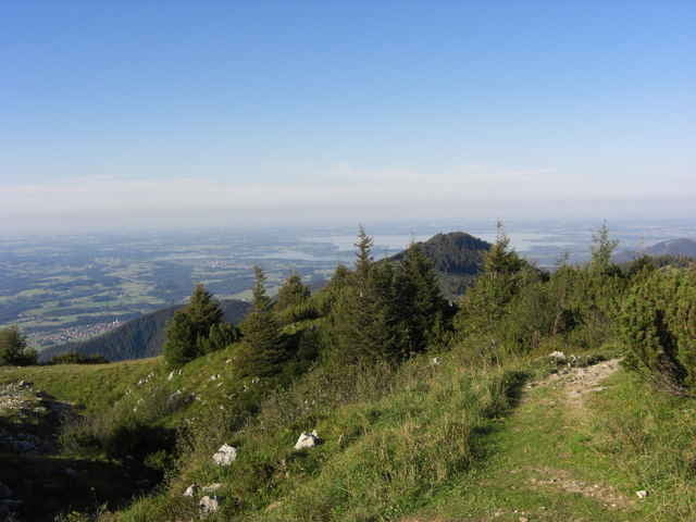
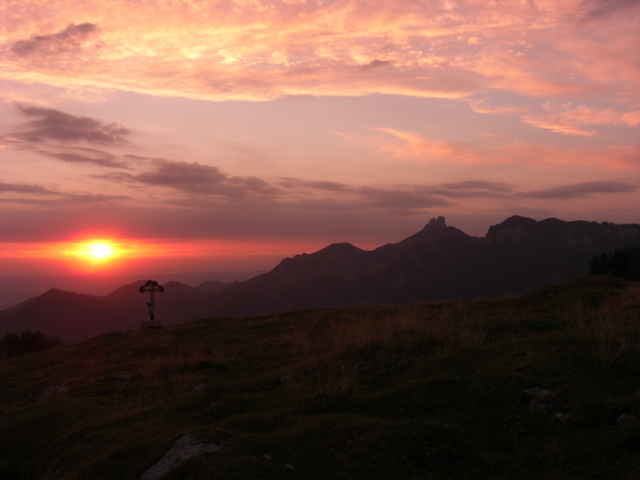
Los gehts am Parkplatz in Nussdorf über die Bichleralm zum Heuberggipfel. Dann über die Euzenau auf das Feuchteck und Karkopf zur Hochries und an der Riesenhütte vorbei auf den Laubenstein - dort wird übernachtet bei einer unbeschreiblichen Aussicht. Am nächsten Morgen gehts weiter über das Abereck, Heuraffelkopf, Predigtstuhl über die Klausen zum Spitzstein. Von dort wieder über das Trockenbachtal zurück über den Heuberg zum Parkplatz nach Nussdorf. Diese Tour dauerte zwei Tage und umfasste 41 kM und 12 Stunden reine Gehzeit - also nur für geübt!!! Auch genügend Wasser mitnehmen da lange Durststrecken wegen fehlender Brunnen vorhanden sind.
Further information at
http://www.roberge.de/Tour gallery
Tour map and elevation profile
Minimum height 326 m
Maximum height 1567 m
Comments

Ausfahrt A93 Brannenburg Richtung Nussdorf. Dort nach einer likskurve ist der Parkplatz.
GPS tracks
Trackpoints-
GPX / Garmin Map Source (gpx) download
-
TCX / Garmin Training Center® (tcx) download
-
CRS / Garmin Training Center® (crs) download
-
Google Earth (kml) download
-
G7ToWin (g7t) download
-
TTQV (trk) download
-
Overlay (ovl) download
-
Fugawi (txt) download
-
Kompass (DAV) Track (tk) download
-
Track data sheet (pdf) download
-
Original file of the author (gpx) download
Add to my favorites
Remove from my favorites
Edit tags
Open track
My score
Rate


