Login

Forgot your login?

Cookies have to be accepted!
Your browser's cookie functionality is disabled. Please enable this functionality.

Not a member yet?

Register now
Login

Available for registred users only

Log in to use this feature.

Forgot your login?

Cookies have to be accepted!
Your browser's cookie functionality is disabled. Please enable this functionality.

Not a member yet?

Register now
Filter
Categories
Advanced filters
  • Distance (km)
  • Height
Save filters Reset filter

TrackRank

QRCode

Technical data

Distance49,7 km Height784 m Way down778 m Duration02:45 h:m Date21.04.2012
Scores Author Landscape Fun factor Fitness Technique

Statistics

394 Views 3 Scores 42 Downloads 4.67 Average
Rate
  • Track data sheet
  • Directions
  • Downloads

Von Spaichingen über die Balgheimer Steige hinauf nach Böttingen. Es folgt eine herrliche Strecke  runter duch das Lippachtal nach Mühlheim an der Donau.

Über Nendingen geht es dann stetig hinauf durch das Ursental und anschließend über das Birrental wieder Richtung Dreifaltigkeitsberg und zurück nach Spaichingen.
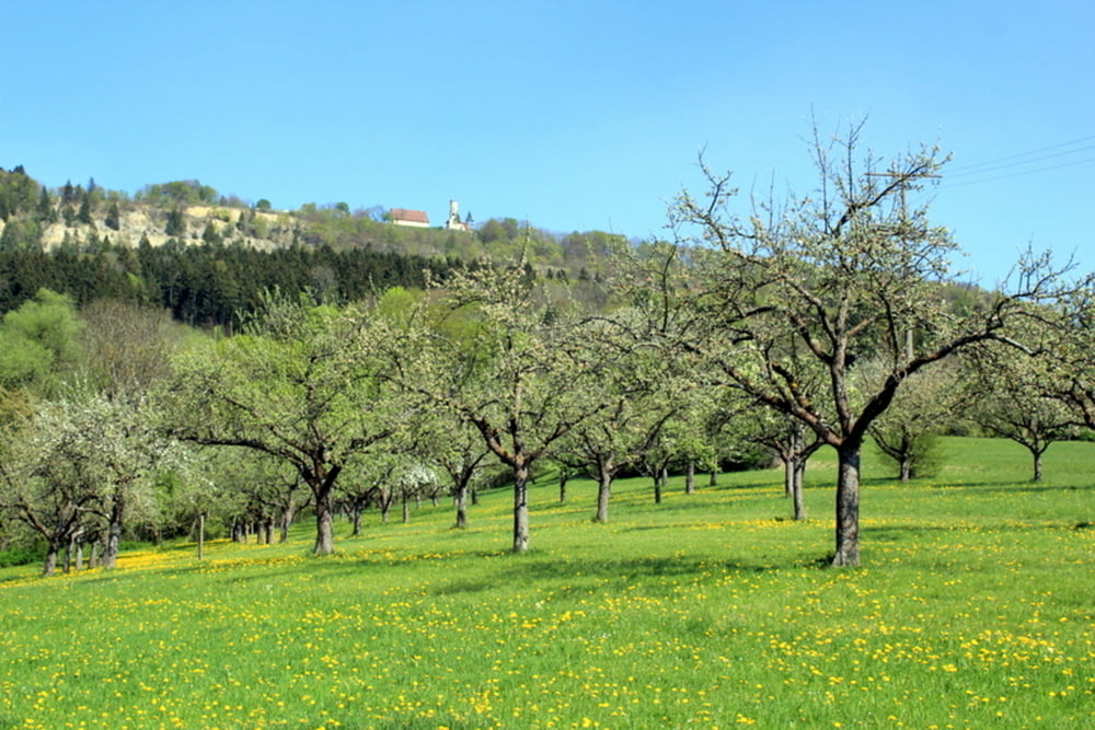
Tour gallery

Tour map and elevation profile

  • Open Street Map
  • Google
Minimum height 636 m Maximum height 974 m Detailed view

More about the tour author

megamats
Member since 2011

Send private message

Comments

pirat58 on 18.06.2018

Über den Heuberg ins Lippachtal

Wir sind die Tour am Wochenende gefahren.
Sehr schöne entspannte Runde, vielen Dank für die Daten.

GPS tracks

Trackpoints
  • GPX / Garmin Map Source (gpx) download
  • TCX / Garmin Training Center® (tcx) download
  • CRS / Garmin Training Center® (crs) download
  • Google Earth (kml) download
  • G7ToWin (g7t) download
  • TTQV (trk) download
  • Overlay (ovl) download
  • Fugawi (txt) download
  • Kompass (DAV) Track (tk) download
  • Track data sheet (pdf) download
  • Original file of the author (gpx) download

More about the tour author

megamats
Member since 2011

Send private message
Share track
Add to my favorites
Remove from my favorites
Edit tags
My score
Rate
Track: Über den Heuberg ins Lippachtal
Type: Mountain bike
Distance: 49,7 km
Evaluated on:
Duration:
Day(s)
Hour(s)
Minute(s)
Score: Landscape Fun factor Fitness Technique