


Mit dem Bike in die Stadt...
...warum nicht?
Eine Tour aus dem Würmtal in die münchner Innenstadt und über die Isar zurück.
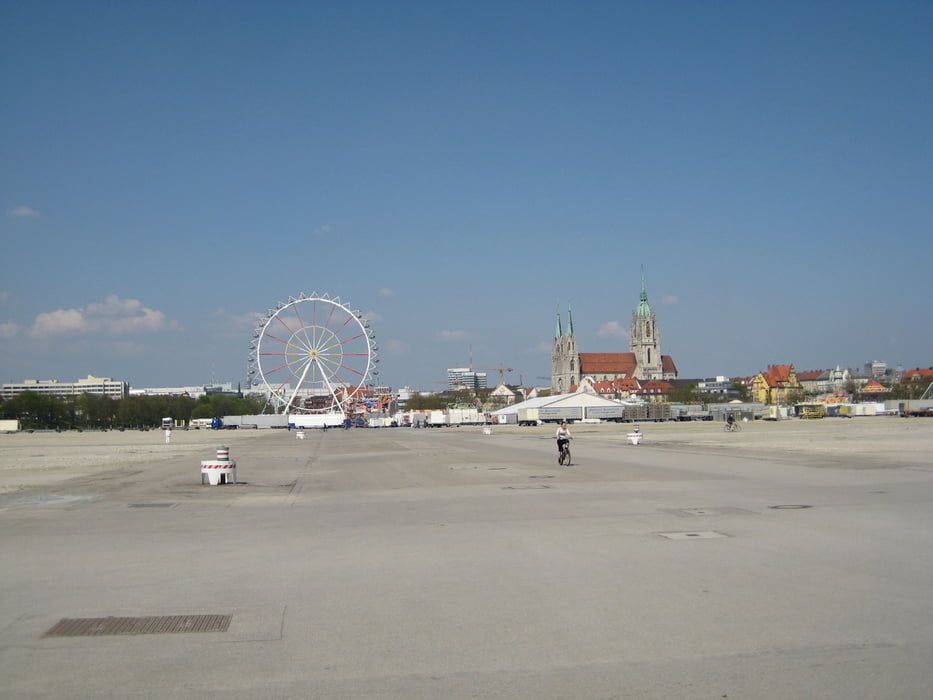
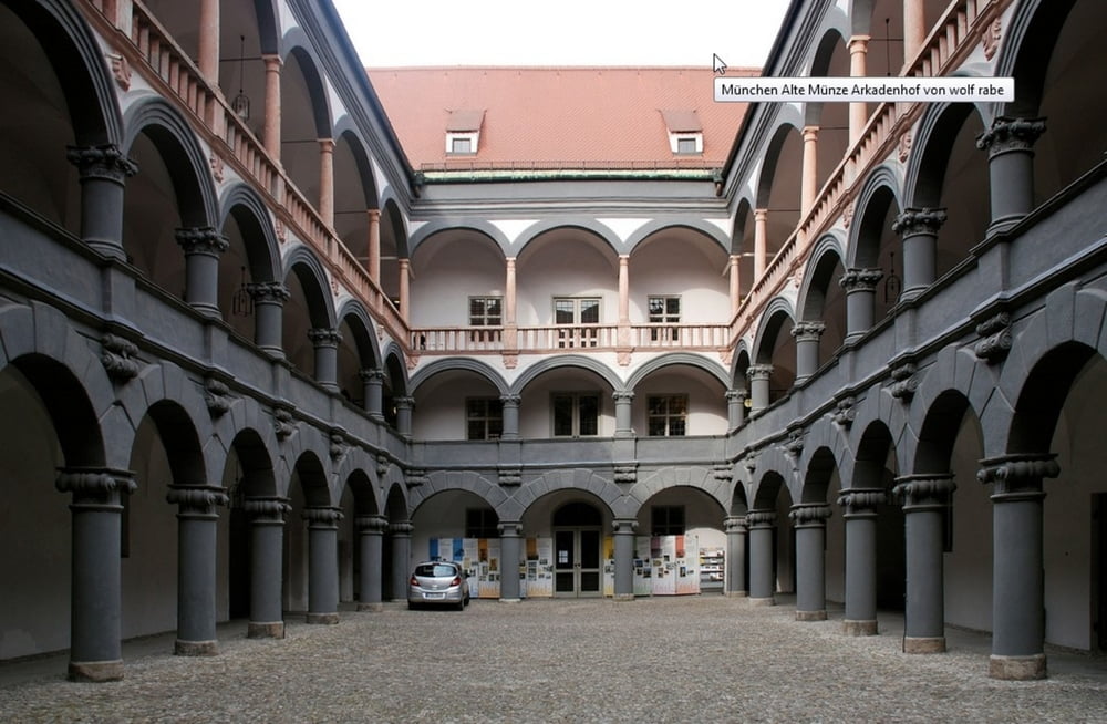
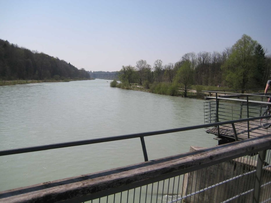
Gauting - Buchendorf - Forstenrieder Park - Neuried - München Maxhof - Großhadern - Waldfriedhof - Westpark mit Aussichtshügel - Theresienwiese - Klinikviertel - Sendlinger Tor Platz - Marienplatz - Capo am Viktualienmarkt - Alte Münze - Marienhof - Hofgarten - Surfer am Eisbach - Isar - Praterinsel - Deutsches Museum - Müllersches Volksbad - Braunauer Eisenbahnbrücke - Flaucher - Tierpark - Mariannenbrücke - Großhesseloher Brücke - Waldwirtschaft - Pullach - Buchenhain - durch den Forstenrieder Park über Buchendorf nach Gauting.
Tolle Mischung aus Bikespaß und Stadtentdeckung fast immer abseits größerer Straßen.
Tour gallery

Tour map and elevation profile
Minimum height 444 m
Maximum height 618 m
More about the tour author
|
|
leichergps |
Comments

GPS tracks
Trackpoints-
GPX / Garmin Map Source (gpx) download
-
TCX / Garmin Training Center® (tcx) download
-
CRS / Garmin Training Center® (crs) download
-
Google Earth (kml) download
-
G7ToWin (g7t) download
-
TTQV (trk) download
-
Overlay (ovl) download
-
Fugawi (txt) download
-
Kompass (DAV) Track (tk) download
-
Track data sheet (pdf) download
-
Original file of the author (gpx) download
More about the tour author
|
|
leichergps |
Add to my favorites
Remove from my favorites
Edit tags
Open track
My score
Rate