


1 St.Anton-Heilbronner Hütte-Kopsstausee-
Ischgl-Bodenalpe
1800 hm 54 km 4H26'
2 Bodenalpe-Heidelberger Hütte-Fimbapass-Zuort-
Sur En-Val d'Uina-Sesvenna Hütte-Schlinig
2240 hm 54 km 6H05'
3 Schlinig-Mals-Laatsch-Müstair-Santa Maria-
Umbrail Pass-Bocchetta di Forcola-Bormio
2000 hm 65 km 5H57'
4 Bormio-Le Prese-Fumero-La Baita-Passo delle Alpe-
Passo di Gavia-Pezzo
2100 hm 57 km 5H29'
5 Pezzo-Case Viso-Forcellina di Montozzo-
Lago Pian Palù-Dimaro-Malga Mondifra-
Madonna di Campiglio
2200 hm 62 km 5H54'
6 Madonna di Campiglio-Tione di Trento-Passo Duron-
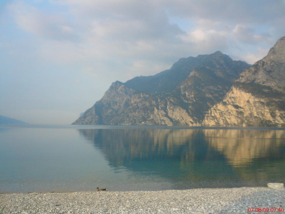
Passo del Ballino-Campi-Riva-Torbole
1200 hm 74 km 4H15'
7a Torbole-Trento
7b Brenner- Innsbruck-Absam
600 hm 98 km 4H26'
diese letzte Etappe gehört nicht mehr im engen Sinn zur Transalp, nur noch ein Ausrollen.
Tour gallery


Tour map and elevation profile
Minimum height 69 m
Maximum height 2766 m
More about the tour author
|
|
mitter |
Comments

mit dem Zug nach St. Anton.
GPS tracks
Trackpoints-
GPX / Garmin Map Source (gpx) download
-
TCX / Garmin Training Center® (tcx) download
-
CRS / Garmin Training Center® (crs) download
-
Google Earth (kml) download
-
G7ToWin (g7t) download
-
TTQV (trk) download
-
Overlay (ovl) download
-
Fugawi (txt) download
-
Kompass (DAV) Track (tk) download
-
Track data sheet (pdf) download
-
Original file of the author (gpx) download
More about the tour author
|
|
mitter |
Add to my favorites
Remove from my favorites
Edit tags
Open track
My score
Rate