Login

Forgot your login?

Cookies have to be accepted!
Your browser's cookie functionality is disabled. Please enable this functionality.

Not a member yet?

Register now
Login

Available for registred users only

Log in to use this feature.

Forgot your login?

Cookies have to be accepted!
Your browser's cookie functionality is disabled. Please enable this functionality.

Not a member yet?

Register now
Filter
Categories
Advanced filters
  • Distance (km)
  • Height
Save filters Reset filter

TrackRank

QRCode

Technical data

Distance29,8 km Height1276 m Way down1283 m Duration02:45 h:m Date22.04.2012
Scores Author Landscape Fun factor Fitness Technique

Statistics

1247 Views Scores 256 Downloads Average
Rate
  • Track data sheet
  • Directions
  • Downloads

Schöne Tour

auch mit Hardtail machbar.

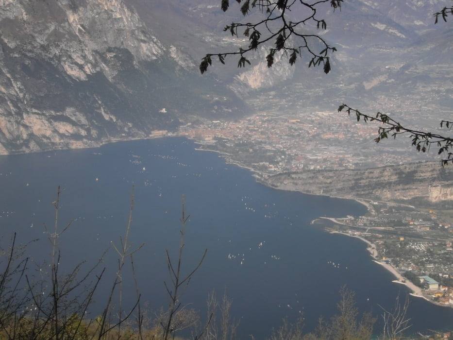
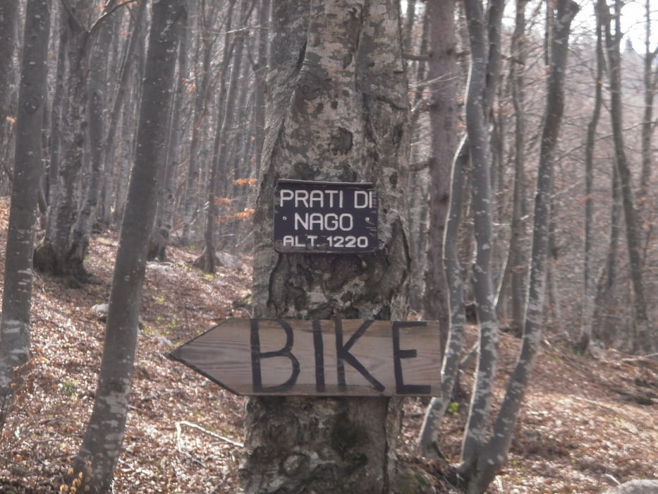
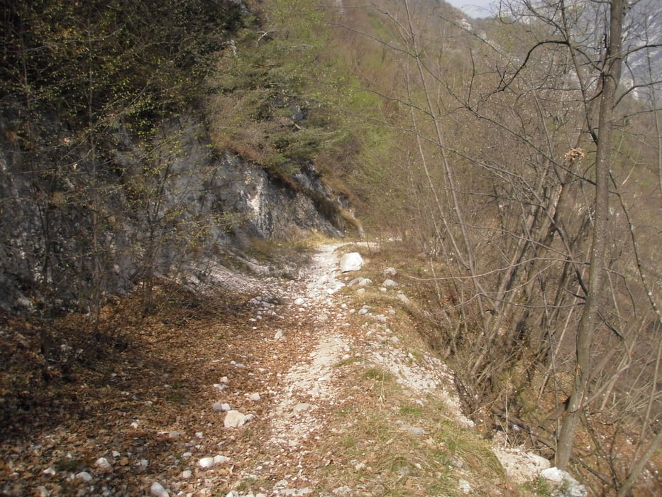
Auffahrt von Torbole über Parco Busatte.1200 Hmt am Stück  bis Prato di NAgo.höchster Punkt. Runter auf Forstwegen mit teilweise leichte Trails bis nach Mala.Hier über die Radstrecke nach Nago und weiter wie auch immer nach Torbole.

Tour gallery

Tour map and elevation profile

  • Open Street Map
  • Google
Minimum height 56 m Maximum height 1285 m Detailed view

More about the tour author

josef_zinganel
Member since 2009

Send private message

Comments

GPS tracks

Trackpoints
  • GPX / Garmin Map Source (gpx) download
  • TCX / Garmin Training Center® (tcx) download
  • CRS / Garmin Training Center® (crs) download
  • Google Earth (kml) download
  • G7ToWin (g7t) download
  • TTQV (trk) download
  • Overlay (ovl) download
  • Fugawi (txt) download
  • Kompass (DAV) Track (tk) download
  • Track data sheet (pdf) download
  • Original file of the author (gpx) download

More about the tour author

josef_zinganel
Member since 2009

Send private message
Share track
Add to my favorites
Remove from my favorites
Edit tags
My score
Rate
Track: Dosso D Barchessa
Type: Mountain bike
Distance: 29,8 km
Evaluated on:
Duration:
Day(s)
Hour(s)
Minute(s)
Score: Landscape Fun factor Fitness Technique