


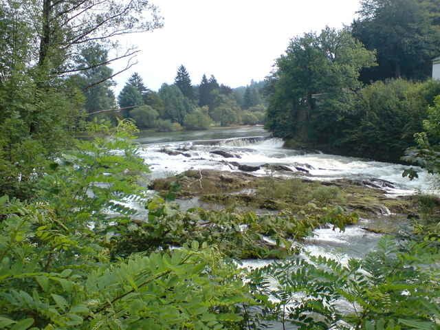
Start an der Sparkasse in Hamm. Über Rosbach, Mittel, Wies und Herfen bis kurz vor Waldbröl. An der ehemaligen Nutscheidkaserne vorbei über die Nutscheidstrasse bis zum Aussichtspunkt (am Ende der asphaltierten Strasse). Von dort zurück und durch den Wald nach Höhnrath. Über Altwindeck nach Schladern,ein kurzen Abstecher zum Siegwasserfall und zu Elmore`s Biergarten (beide stellen eine Bereicherung des Windecker Ländchens dar). Über Rosbach dann zurück nach Hamm.
Further information at
http://www.ammel-online.deTour gallery
Tour map and elevation profile
Minimum height 125 m
Maximum height 385 m
More about the tour author
|
|
hajorenner |
Comments

GPS tracks
Trackpoints-
GPX / Garmin Map Source (gpx) download
-
TCX / Garmin Training Center® (tcx) download
-
CRS / Garmin Training Center® (crs) download
-
Google Earth (kml) download
-
G7ToWin (g7t) download
-
TTQV (trk) download
-
Overlay (ovl) download
-
Fugawi (txt) download
-
Kompass (DAV) Track (tk) download
-
Track data sheet (pdf) download
-
Original file of the author (g7t) download
More about the tour author
|
|
hajorenner |
Add to my favorites
Remove from my favorites
Edit tags
Open track
My score
Rate