


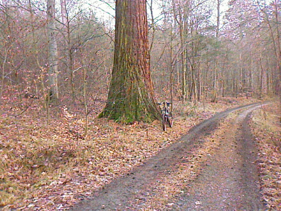
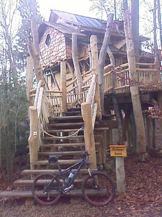
Kleine Runde am Abend ab Freudental in die Stromberger Wälder über Tripsdrill mit einigen Trails. Mit dabei ein paar gewaltige Mammutbäume. Zum Schluss vor Freudental gehts matschig bis klatschnass am Bach entlang - diesen Teil kann man sich beim Einstieg noch überlegen und den Feldweg nebenan abfahren. Helle Lampe vorausgesetzt.
Voting wäre sinnvoll damit andere etwas mit der Beschreibung und Strecke anfangen können.
Tour gallery

Tour map and elevation profile
Minimum height 211 m
Maximum height 448 m
More about the tour author
|
|
batman11 |
Comments

GPS tracks
Trackpoints-
GPX / Garmin Map Source (gpx) download
-
TCX / Garmin Training Center® (tcx) download
-
CRS / Garmin Training Center® (crs) download
-
Google Earth (kml) download
-
G7ToWin (g7t) download
-
TTQV (trk) download
-
Overlay (ovl) download
-
Fugawi (txt) download
-
Kompass (DAV) Track (tk) download
-
Track data sheet (pdf) download
-
Original file of the author (gpx) download
More about the tour author
|
|
batman11 |
Add to my favorites
Remove from my favorites
Edit tags
Open track
My score
Rate