


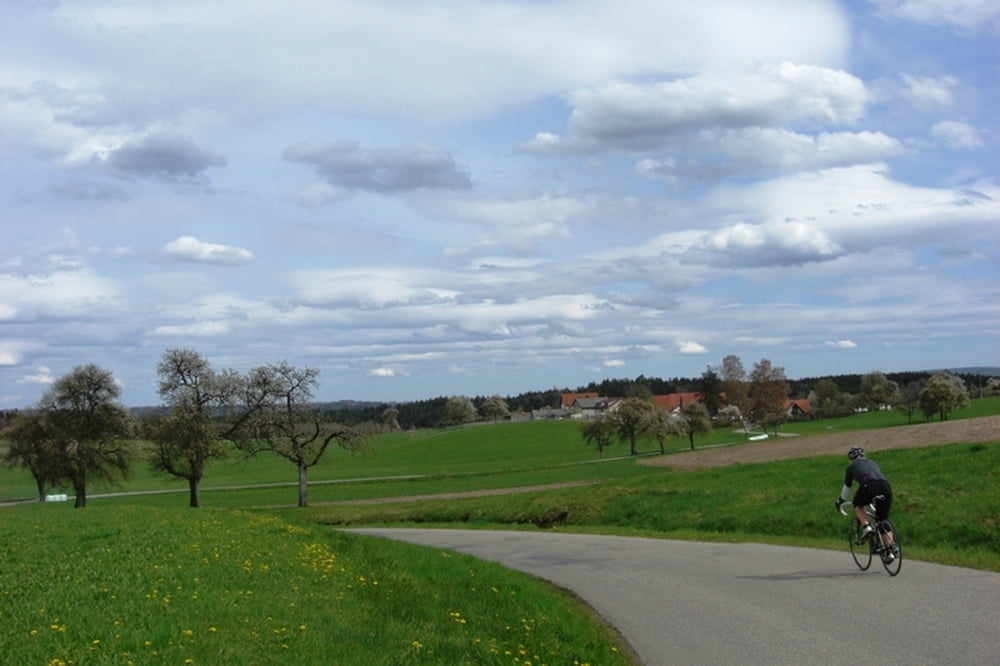
Schöne Rennradrunde entlang von Kocher und Bühler. Viele kleine verkehrsarme Sträßchen. Idyllische Passagen im Rötenbach und im Bühlertal. Keine schwierigen Abschnitte. Steilster Anstieg bei kurzzeitig 14% nach Bühler.
Tour gallery
Tour map and elevation profile
Minimum height 340 m
Maximum height 490 m
More about the tour author
|
|
modicraft |
Comments

Start- und Zielpunkt ist der Ortskern von Laufen. Anfahrt von Schwäbisch Hall über die B19. Von Aalen kommt man ebenfalls direkt von der B19. Parkplätze sind im Ortskern genügend vorhanden. Tourenstart ist an der Bushaltestelle in Laufen.
GPS tracks
Trackpoints-
GPX / Garmin Map Source (gpx) download
-
TCX / Garmin Training Center® (tcx) download
-
CRS / Garmin Training Center® (crs) download
-
Google Earth (kml) download
-
G7ToWin (g7t) download
-
TTQV (trk) download
-
Overlay (ovl) download
-
Fugawi (txt) download
-
Kompass (DAV) Track (tk) download
-
Track data sheet (pdf) download
-
Original file of the author (gpx) download
More about the tour author
|
|
modicraft |
Add to my favorites
Remove from my favorites
Edit tags
Open track
My score
Rate