Login

Forgot your login?

Cookies have to be accepted!
Your browser's cookie functionality is disabled. Please enable this functionality.

Not a member yet?

Register now
Login

Available for registred users only

Log in to use this feature.

Forgot your login?

Cookies have to be accepted!
Your browser's cookie functionality is disabled. Please enable this functionality.

Not a member yet?

Register now
Filter
Categories
Advanced filters
  • Distance (km)
  • Height
Save filters Reset filter

TrackRank

QRCode

Technical data

Distance124,2 km Height2685 m Way down2681 m Duration04:15 h:m Date29.04.2012
Scores Author User Landscape Fun factor Fitness Technique

Statistics

1424 Views 2 Scores 207 Downloads 4.50 Average
Rate
  • Track data sheet
  • Directions
  • Downloads

Wie jedes Jahr auch diesmal wieder eine schöne Tour. 70 Prozent wie im Vorjahr, 30 Prozent neu.

Liegt sicher am neuen Startpunkt. Diesmal nicht in Essen Steele sondern am Baldeneysee, Freiherr von Stein Strasse am Beachclub.
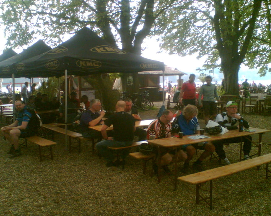
 

Tour gallery

Tour map and elevation profile

  • Open Street Map
  • Google
Minimum height 40 m Maximum height 220 m Detailed view

More about the tour author

Slayer
Member since 2006

Send private message

Comments

musashi67 on 02.10.2012

heftig

heftige runde, am ende konnte ich keine berge mehr sehen. konditionell eine absolute herausforderung, schade das downhill meist auf schotter gefahren wurde und die schönen trails downhill die am wegesrand liegen, z.b. im schellenberger wald, nicht mit eingebunden wurden.
trotzdem eine tolle runde für alle die eine herausforderung suchen.
Essen Baldeneysee, Freiherr von Stein Strasse 384, Beach Club

GPS tracks

Trackpoints
  • GPX / Garmin Map Source (gpx) download
  • TCX / Garmin Training Center® (tcx) download
  • CRS / Garmin Training Center® (crs) download
  • Google Earth (kml) download
  • G7ToWin (g7t) download
  • TTQV (trk) download
  • Overlay (ovl) download
  • Fugawi (txt) download
  • Kompass (DAV) Track (tk) download
  • Track data sheet (pdf) download
  • Original file of the author (gpx) download

More about the tour author

Slayer
Member since 2006

Send private message
Share track
Add to my favorites
Remove from my favorites
Edit tags
My score
Rate
Track: Essen Steele 2012 CTF Ronda Extrema
Type: Mountain bike
Distance: 124,2 km
Evaluated on:
Duration:
Day(s)
Hour(s)
Minute(s)
Score: Landscape Fun factor Fitness Technique