


Der Schwarzwald-Schwäbische-Alb-Allgäu-Weg (HW5) führt von Pforzheim über Tübingen nach Isny. Die Tour hier geht nur über die Teilstrecke von Ehningen nach Tübingen. Beides ist gut über die Bahn erreichbar.
Weitere Information gibt es unter www.schwaebischer-albverein.de/wandern/wanderwege/weitwanderwege/hw5/hw5.html.
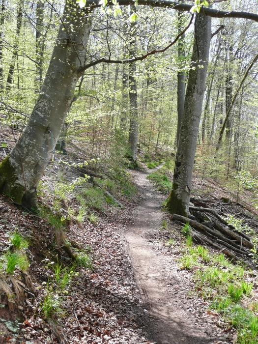
Die Strecke selbst ist oft ein Wanderweg, d. h. es empfiehlt sich nicht zur Zeiten zu fahren, wenn Wanderer unterwegs sind.
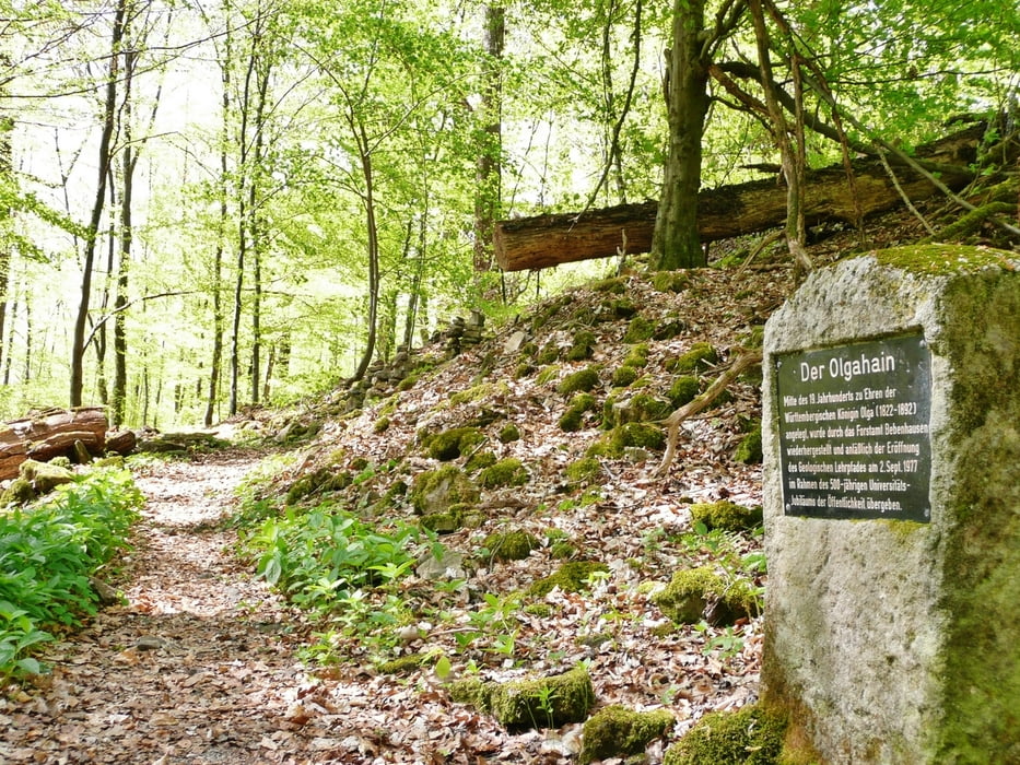
In der Gegend von Tübingen wurde noch ein kleiner Abstecher zum Olgahein gemacht (angelegt zu Ehren der Königin Olga, 1822-1892)
Further information at
http://www.schwaebischer-albverein.de/wandern/wanderwege/weitwanderwege/hw5/hw5.htmlTour gallery
Tour map and elevation profile
Minimum height 319 m
Maximum height 575 m
More about the tour author
|
|
MatthiasBy |
Comments

Die Strecke selbst macht Spaß, wenn man anschließend von Tübingen mit der Ammertalbahn www.ammertalbahn.de/ über Herrenberg zurück nach Ehningen fährt.
GPS tracks
Trackpoints-
GPX / Garmin Map Source (gpx) download
-
TCX / Garmin Training Center® (tcx) download
-
CRS / Garmin Training Center® (crs) download
-
Google Earth (kml) download
-
G7ToWin (g7t) download
-
TTQV (trk) download
-
Overlay (ovl) download
-
Fugawi (txt) download
-
Kompass (DAV) Track (tk) download
-
Track data sheet (pdf) download
-
Original file of the author (gpx) download
More about the tour author
|
|
MatthiasBy |
Add to my favorites
Remove from my favorites
Edit tags
Open track
My score
Rate