


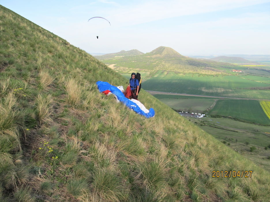
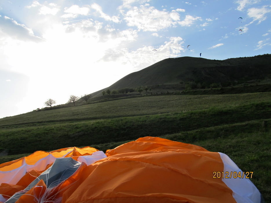
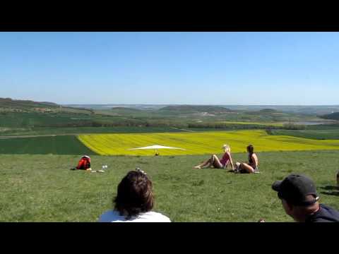
Na Rané se minulý víkend slavilo, vzpomínalo a hlavně poletovalo. Mrkněte na pár foto a videí, taky o tom, jak to "kdysi dávno" docela složitě dělali, aby se alespoň na chvilku dostali do vzduchu.
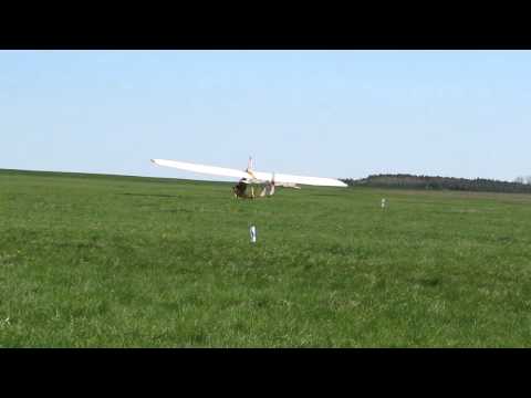
Na foto a video také školního kluzáku, vyrobeného v r. 1938, se podíváte, když kliknete na odkaz umístěný níže.
Further information at
http://stanpilot.rajce.idnes.cz/PG_2012-04-27_az_29_Rana_a_80_let_Aeroklubu_Rana_u_Loun/Tour gallery
Tour map and elevation profile
Minimum height 319 m
Maximum height 445 m
More about the tour author
|
|
stan - pilot |
Comments

Raná je v Čechách proslulým místem pro všecjny paraglajdisty a plachtaře. v r.2012 oslavil Aeroklub Raná u Loun 80. výročí své existence.
Raná leží severně od města Louny nedaloko stání komunikace č. 7 , která navazuje na německou B174.
GPS tracks
Trackpoints-
GPX / Garmin Map Source (gpx) download
-
TCX / Garmin Training Center® (tcx) download
-
CRS / Garmin Training Center® (crs) download
-
Google Earth (kml) download
-
G7ToWin (g7t) download
-
TTQV (trk) download
-
Overlay (ovl) download
-
Fugawi (txt) download
-
Kompass (DAV) Track (tk) download
-
Track data sheet (pdf) download
-
Original file of the author (gpx) download
More about the tour author
|
|
stan - pilot |
Add to my favorites
Remove from my favorites
Edit tags
Open track
My score
Rate