


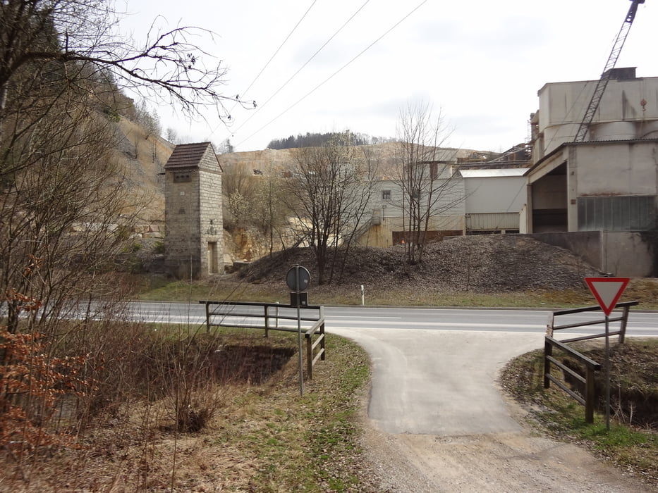
Hier die Vierte der Kurztouren. Man sollte vor Oberachtel den Radweg nehmen, der links der Straße läuft. Bedingt durch den Steinbruch bei der Ittlinger Mühle sind doch immer wieder schwere Kieslaster unterwegs. Danach wird es wieder ruhiger. Neben diesem kurzen neuen Streckenabschnitt ist es vor allem die Schlaufe über Almos und Möchs, welche diese Tour von den anderen unterscheidet. Danach geht es über schon bekannte Streckenabschnitte, teilweise in umgekehrter Fahrtrichtung, zurück.
Tour gallery

Tour map and elevation profile
Minimum height 339 m
Maximum height 553 m
More about the tour author
|
|
herbertlasch |
Comments

GPS tracks
Trackpoints-
GPX / Garmin Map Source (gpx) download
-
TCX / Garmin Training Center® (tcx) download
-
CRS / Garmin Training Center® (crs) download
-
Google Earth (kml) download
-
G7ToWin (g7t) download
-
TTQV (trk) download
-
Overlay (ovl) download
-
Fugawi (txt) download
-
Kompass (DAV) Track (tk) download
-
Track data sheet (pdf) download
-
Original file of the author (gpx) download
More about the tour author
|
|
herbertlasch |
Add to my favorites
Remove from my favorites
Edit tags
Open track
My score
Rate