


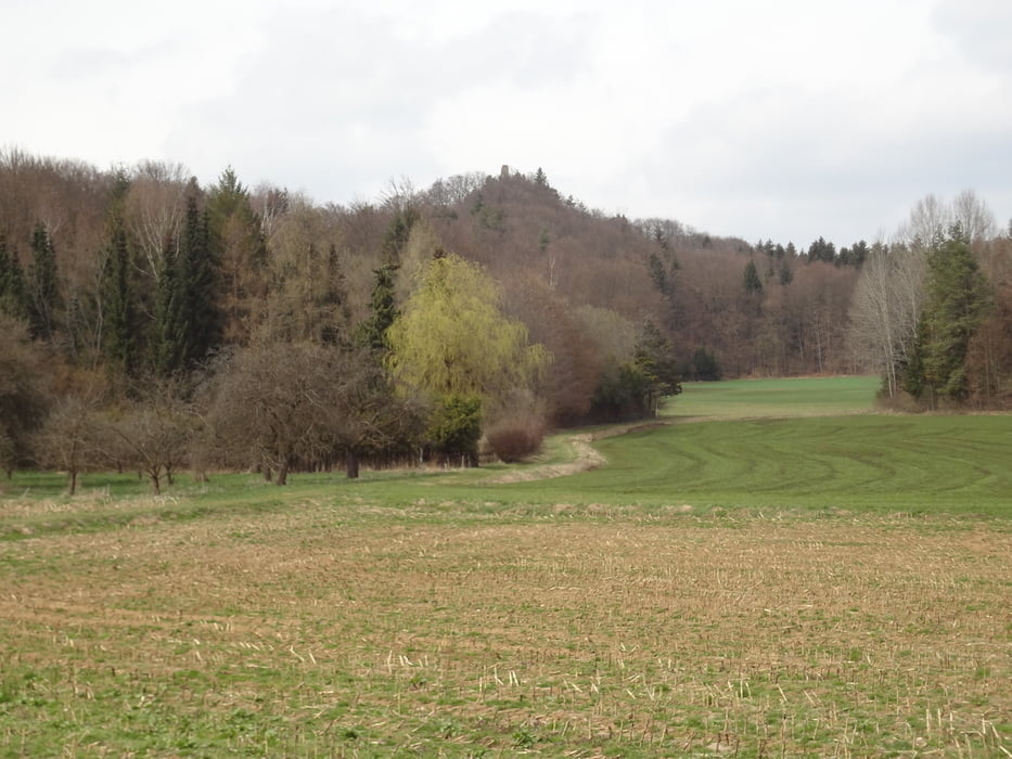
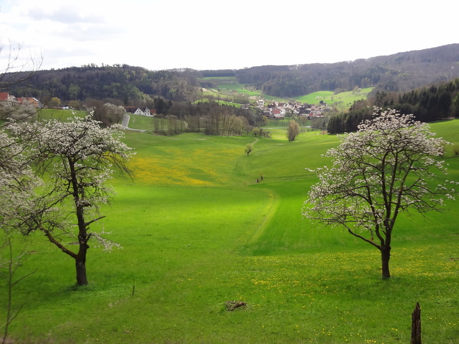
Dies ist die Schwerste der fünf Touren. Im Gegensatz zu den andereren vier Touren ist hier, meines Erachstens nach, die Fahrtrichtung wichtig. Ich empfehle im Uhrzeigersinn zu fahren. Dadurch hat man zwar zweimal einen steilen Anstieg (bei Weißenohe und bei Schnaittach), aber die Abfahrten sind danach einfach schön. Anders herum würde man fast nur am Bremsen sein, da es vor Weißenohe zu steil währe und der Asphalt vom Rothenberg herunter zu schlecht ist. Die kurze Strecke auf der B2 bei Igensdorf ist nicht all zu stark befahren und geht auch schnell vorbei. Ein weiteres Highligth dieser Strecke ist für mich der Abschnitt von Strahlenfels nach Großengsee. Nachdem wir wieder in Schnaittach sind, geht es diesmal über meinen "Hausberg". Der durfte bei den 5 Touren über Hiltpoltstein einfach nicht fehlen. Die Abfahrt vom Parkplatz der Festung hinunter ins Tal und die anschließende Strecke nach Speikern lohnt auf jeden Fall den Anstieg davor.
Damit viel Spaß mit den 5 beschriebenen Touren und ich hoffe, es waren für Nachfahrer einige neue Straßen dabei.
Tour gallery


Tour map and elevation profile
Minimum height 337 m
Maximum height 553 m
More about the tour author
|
|
herbertlasch |
Comments

GPS tracks
Trackpoints-
GPX / Garmin Map Source (gpx) download
-
TCX / Garmin Training Center® (tcx) download
-
CRS / Garmin Training Center® (crs) download
-
Google Earth (kml) download
-
G7ToWin (g7t) download
-
TTQV (trk) download
-
Overlay (ovl) download
-
Fugawi (txt) download
-
Kompass (DAV) Track (tk) download
-
Track data sheet (pdf) download
-
Original file of the author (gpx) download
More about the tour author
|
|
herbertlasch |
Add to my favorites
Remove from my favorites
Edit tags
Open track
My score
Rate