


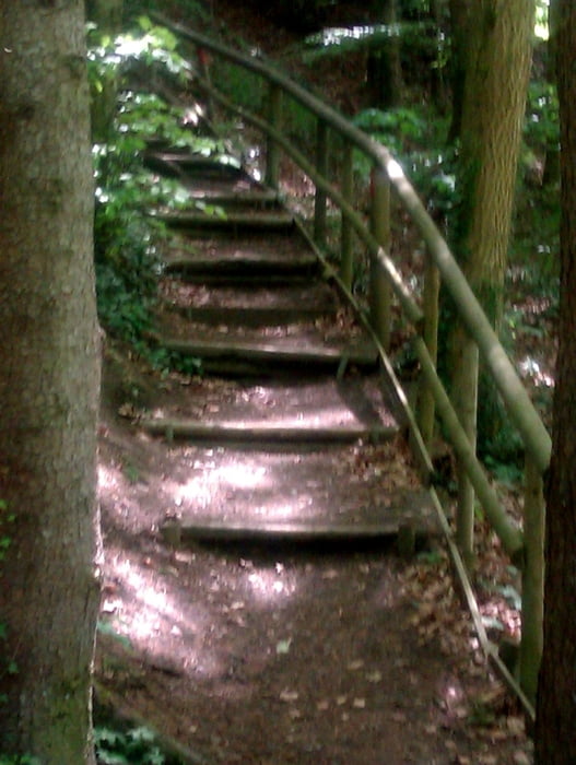
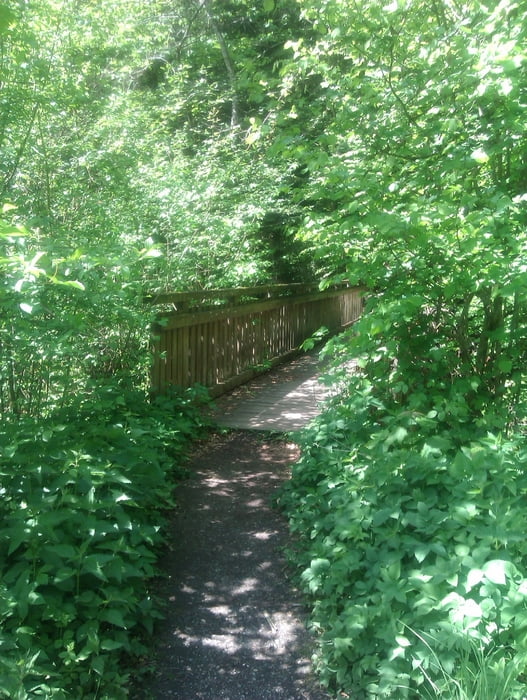
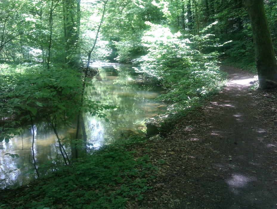
KURZ VOR WEILERMÜHLE BEFINDET SICH EIN KLEINER PARKPLATZ. VON DORT AUS GEHT ES EINE TREPPE HINUNTER AN DIE ROTACH: HINÜBER ÜBER EINE BRÜCKE VERLÄUFT DER WEG AN DER ROTACH ENTLANG BIS NACH UNTERTEURINGEN. DANACH GEHT ES DEN FUß-UND RADWEG ZURÜCK RICHTUNG WEILERMÜHLE. DIESE TOUR KANN MAN AUCH AUSWEITEN BIS NACH OBERTEURINGEN. HIER BEFINDET SICH EINE EINKEHRMÖGLICHKEIT "DIE POST".
Further information at
http://maps.google.de/maps?hl=de&q=weilerm%C3%BChle+ailingen&bav=on.2,or.r_gc.r_pw.r_qf.,cf.osb&biw=1366&bih=580&um=1&ie=UTF-8&sa=N&tab=wlTour gallery
Tour map and elevation profile
Minimum height 429 m
Maximum height 459 m
More about the tour author
|
|
JOGI001 |
Comments

SIEHE LINK
GPS tracks
Trackpoints-
GPX / Garmin Map Source (gpx) download
-
TCX / Garmin Training Center® (tcx) download
-
CRS / Garmin Training Center® (crs) download
-
Google Earth (kml) download
-
G7ToWin (g7t) download
-
TTQV (trk) download
-
Overlay (ovl) download
-
Fugawi (txt) download
-
Kompass (DAV) Track (tk) download
-
Track data sheet (pdf) download
-
Original file of the author (gpx) download
More about the tour author
|
|
JOGI001 |
Add to my favorites
Remove from my favorites
Edit tags
Open track
My score
Rate