Login

Forgot your login?

Cookies have to be accepted!
Your browser's cookie functionality is disabled. Please enable this functionality.

Not a member yet?

Register now
Login

Available for registred users only

Log in to use this feature.

Forgot your login?

Cookies have to be accepted!
Your browser's cookie functionality is disabled. Please enable this functionality.

Not a member yet?

Register now
Filter
Categories
Advanced filters
  • Distance (km)
  • Height
Save filters Reset filter

TrackRank

QRCode

Technical data

Distance77,0 km Height2100 m Way down2098 m Duration06:00 h:m Date09.05.2012
Scores Author Landscape Fun factor Fitness Technique

Statistics

462 Views Scores 99 Downloads Average
Rate
  • Track data sheet
  • Directions
  • Downloads
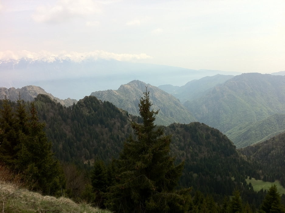
Von Torbole ging die Tour über Riva und die alte Ponalestraße zum Ledrosee. Ab hier ging es stetig den Tremalzo bergauf bis zum höchsten Punkt auf 1830m. Von hier stürtzt man sich über groben Schotter und später ober einen meist gut befestigten Weg wieder in das Ledrotal und zurück an den Gardasse.

Tour map and elevation profile

  • Open Street Map
  • Google
Minimum height 67 m Maximum height 1831 m Detailed view

More about the tour author

sonnysurf

Comments

GPS tracks

Trackpoints
  • GPX / Garmin Map Source (gpx) download
  • TCX / Garmin Training Center® (tcx) download
  • CRS / Garmin Training Center® (crs) download
  • Google Earth (kml) download
  • G7ToWin (g7t) download
  • TTQV (trk) download
  • Overlay (ovl) download
  • Fugawi (txt) download
  • Kompass (DAV) Track (tk) download
  • Track data sheet (pdf) download
  • Original file of the author (gpx) download

More about the tour author

sonnysurf

Share track
Add to my favorites
Remove from my favorites
Edit tags
My score
Rate
Track: Tremalzorunde
Type: Mountain bike
Distance: 77,0 km
Evaluated on:
Duration:
Day(s)
Hour(s)
Minute(s)
Score: Landscape Fun factor Fitness Technique