Login

Forgot your login?

Cookies have to be accepted!
Your browser's cookie functionality is disabled. Please enable this functionality.

Not a member yet?

Register now
Login

Available for registred users only

Log in to use this feature.

Forgot your login?

Cookies have to be accepted!
Your browser's cookie functionality is disabled. Please enable this functionality.

Not a member yet?

Register now
Filter
Categories
Advanced filters
  • Distance (km)
  • Height
Save filters Reset filter

TrackRank

QRCode

Technical data

Distance10,0 km Height1182 m Way down m Duration03:30 h:m Date21.11.2004
Scores Author Landscape Fun factor Fitness Technique

Statistics

3392 Views Scores 387 Downloads Average
Rate
  • Track data sheet
  • Directions
  • Downloads
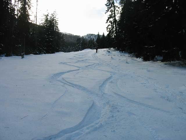
Die Tour beginnt beim Parkplatz Wimmbachbrücke. Wir folgen den Weg zum Watzmannhaus. Bei einer Höhe von 1200m erreichen wir die Stubenalmen, ab hier folgen wir einen Kahlschlag bis zur Watzmanngugel. Diese Tour ist windgeschützt und die Lawinengefahr ist leicht im oberen Hang nach starken Wind mittel. Unterhalb von der Stubenalm gibt’s bei der Abfahrt einige schöne Waldschneisen.

Further information at

http://www.sigisfunwelt.de

Tour gallery

Tour map and elevation profile

  • Open Street Map
  • Google
Minimum height 624 m Maximum height 1748 m Detailed view

More about the tour author

sigi mitteregger
Member since 2004

Send private message

Comments

slotty on 09.01.2011

Tolle Tour auch mit Schneeschuhen

Hallo, habe die Tour vom Parkplatz Hammerstiel aus gemacht. Das ganze mit Schneeschuhen, kurz vor dem Gugel allerdings eine kleine Steilstufe, ging bis dahin ganz gut ohne Schneeschuhe ( nur mit normaler Wanderausrüstung), danach sind Schneeschuhe oder Ski empfehlenswert. Danke fürs bereitstellen zum Downloaden.

GPS tracks

Trackpoints
  • GPX / Garmin Map Source (gpx) download
  • TCX / Garmin Training Center® (tcx) download
  • CRS / Garmin Training Center® (crs) download
  • Google Earth (kml) download
  • G7ToWin (g7t) download
  • TTQV (trk) download
  • Overlay (ovl) download
  • Fugawi (txt) download
  • Kompass (DAV) Track (tk) download
  • Track data sheet (pdf) download
  • Original file of the author (g7t) download

More about the tour author

sigi mitteregger
Member since 2004

Send private message
Share track
Add to my favorites
Remove from my favorites
Edit tags
My score
Rate
Track: Watzmanngugel
Type: Ski touring
Distance: 10,0 km
Evaluated on:
Duration:
Day(s)
Hour(s)
Minute(s)
Score: Landscape Fun factor Fitness Technique