
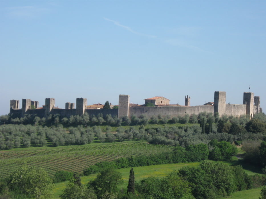

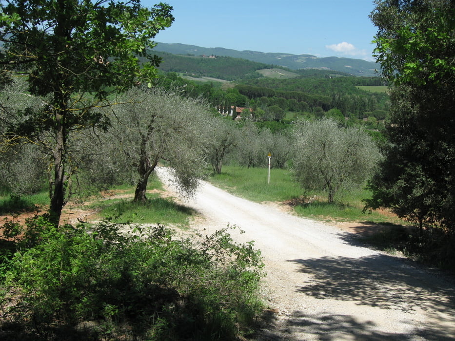
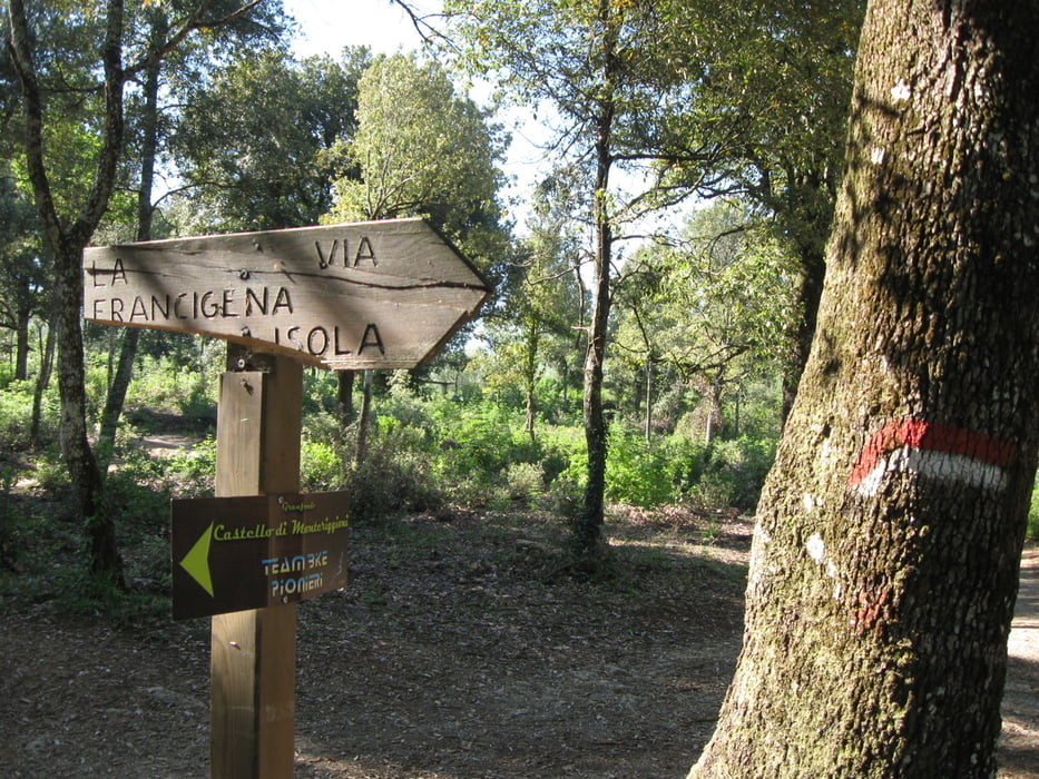
Dal parcheggio fuori del paese ci avviamo nel centro, all'interno delle mura, da dove partiamo. Abbandoniamo la strada provinciale dopo 500m per imboccare subito a destra la strada di Valmaggiore. Dopo 8 km di relativa pianura si inizia a salire fino ad arrivare all'abitato di Montauto in un susseguirsi di natura e panorami mozzafiato. Si sale ancora per altri 6 km, fino al 14°. Un po' di sosta, poi riscendiamo e al 16° km ci fermiamo in pausa pranzo alla Fungaia, la fornace di Monteriggioni. Ripartenza per altri 2 km di discesa. Si risale per 5 km fino a Colle Ciupi, breve discesa fino ad imboccare la Via Francigena che ci riporta al paese. Un panorama unico, strade bianche e bosco da film, insomma un piacere unico.
Further information at
http://danielepalmesi.blogspot.it/2012/05/monteriggioni-si-12-maggio-2012.htmlTour gallery
Tour map and elevation profile
Minimum height 181 m
Maximum height 574 m
More about the tour author
|
|
daniele325 |
Comments

Partenza e arrivo da Via Primo Maggio - Monteriggioni.
GPS tracks
Trackpoints-
GPX / Garmin Map Source (gpx) download
-
TCX / Garmin Training Center® (tcx) download
-
CRS / Garmin Training Center® (crs) download
-
Google Earth (kml) download
-
G7ToWin (g7t) download
-
TTQV (trk) download
-
Overlay (ovl) download
-
Fugawi (txt) download
-
Kompass (DAV) Track (tk) download
-
Track data sheet (pdf) download
-
Original file of the author (gpx) download
More about the tour author
|
|
daniele325 |
Add to my favorites
Remove from my favorites
Edit tags
Open track
My score
Rate