


Bei meiner nächsten Stadtbesichtigung werde ich mir vorher eine Touristinfo zulegen.
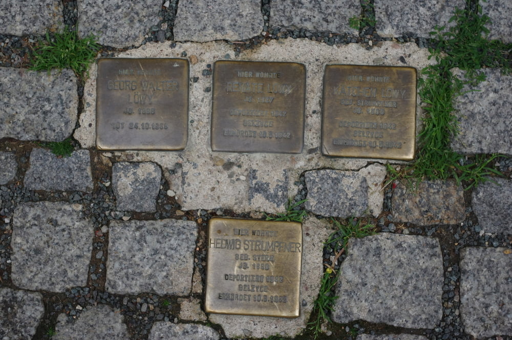
Weil ich dies nicht gemacht habe stolperte ich an einigen Sehenswürdigkeiten vorbei ohne die vermutlich richtig zu würdigen.
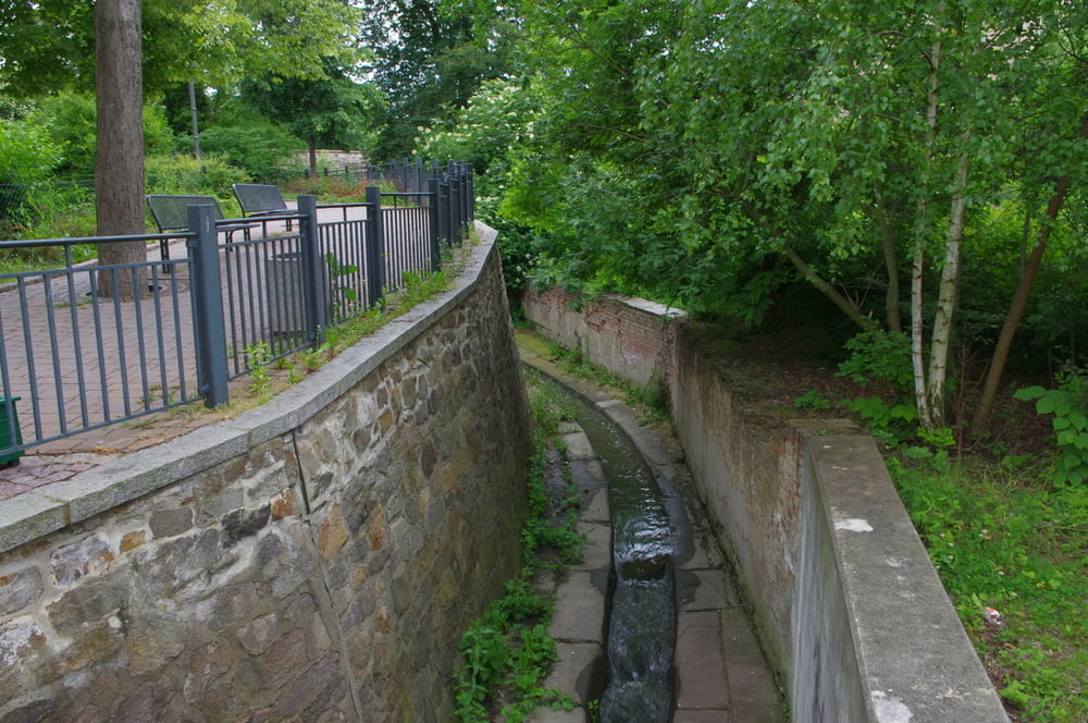
Leider bewegte ich mich auch durch ein paar Straßen die nicht sehr sehenswert sind.
Alles in allem ist Altenburg leicht morbide aber das liebe ich.
Sehenswert sind:
- der Marktplatz
- die Kirchen wenn sie denn am Abend offen wären.
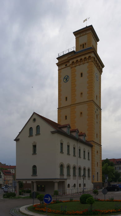
- Das Schloß (etwas morbide)
- Das Naturkundemuseum (war auch schon zu)
- Der Schloßpark.
Ich fands gut.
Further information at
http://www.altenburg.eu/sixcms/detail.php?_nav_id1=2509&id=11685&_lang=deGalería de rutas
Mapa de la ruta y perfil de altitud
Minimum height 177 m
Maximum height 225 m
More about the tour author
|
|
Pheinz |
Comentarios

Tracks GPS
Puntos del track-
GPX / Garmin Map Source (gpx) download
-
TCX / Garmin Training Center® (tcx) download
-
CRS / Garmin Training Center® (crs) download
-
Google Earth (kml) download
-
G7ToWin (g7t) download
-
TTQV (trk) download
-
Overlay (ovl) download
-
Fugawi (txt) download
-
Kompass (DAV) Track (tk) download
-
Hoja de ruta (pdf) download
-
Original file of the author (gpx) download
More about the tour author
|
|
Pheinz |
Add to my favorites
Remove from my favorites
Edit tags
Open track
Mi valoración
Rate