


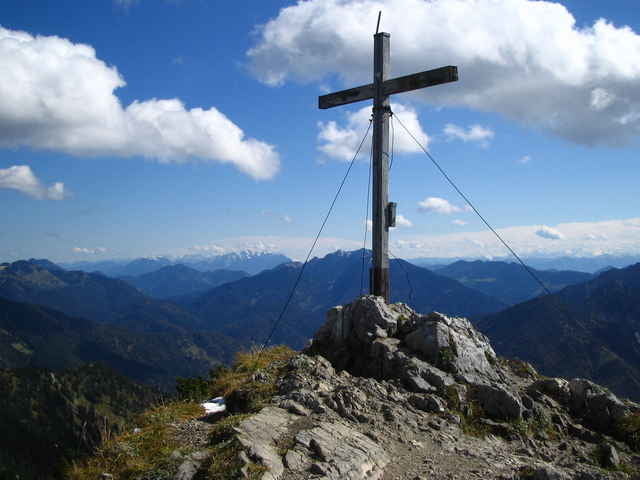
Vom Parkplatz zur Schweigeralm hinauf und am Fahrweg weiter, bis nach links die markierte Route zum Risserkogel aus der Langen Au gegen Nordosten abzweigt. Sie schlängelt sich relattiv steil auf einem bewaldeten Rücken zwischen zwei Bachgräben zur Scheuer Alm hinauf. Dann weiter bis zur Ableitenalm und weiter bis zum Gipfel des Risserkogel. Zurück über den felsigen Westgrad zur Ableitenalm. Dort erreichen wir wieder die Aufstiegsroute und folgen ihr zur Schweigeralm und zum Ausgangspunkt zrück.
Galería de rutas
Mapa de la ruta y perfil de altitud
Minimum height 790 m
Maximum height 1820 m
More about the tour author

|
Comentarios

Tegernsee richtung Achenpaß Wildbad Kreuth
Tracks GPS
Puntos del track-
GPX / Garmin Map Source (gpx) download
-
TCX / Garmin Training Center® (tcx) download
-
CRS / Garmin Training Center® (crs) download
-
Google Earth (kml) download
-
G7ToWin (g7t) download
-
TTQV (trk) download
-
Overlay (ovl) download
-
Fugawi (txt) download
-
Kompass (DAV) Track (tk) download
-
Hoja de ruta (pdf) download
-
Original file of the author (g7t) download
More about the tour author
|
|
Add to my favorites
Remove from my favorites
Edit tags
Open track
Mi valoración
Rate