Login

Olvidaste tu contraseña?

Las cookies tienen que estar habilitadas!
Las cookies no están habilitadas en tu navegador. Por favor, modifica la configuración antes de continuar.

Not a member yet?

Register now
Login

Available for registred users only

Log in to use this feature.

Olvidaste tu contraseña?

Las cookies tienen que estar habilitadas!
Las cookies no están habilitadas en tu navegador. Por favor, modifica la configuración antes de continuar.

Not a member yet?

Register now
Filtro
Categorías
Advanced filters
  • Distancia (km)
  • Altitud en metros
Guardar filtro Reset filter

TrackRank

QRCode

Technical data

Distancia25,1 km Altitud en metros398 m Descenso389 m Duración03:00 h:m Fecha17.06.2013
Valoraciones Autor Paisaje Diversión Condición Técnica

Estadística

310 Visitas Valoraciones 15 Descargas Promedio
Rate
  • Hoja de ruta
  • Punto de partida
  • Descargas

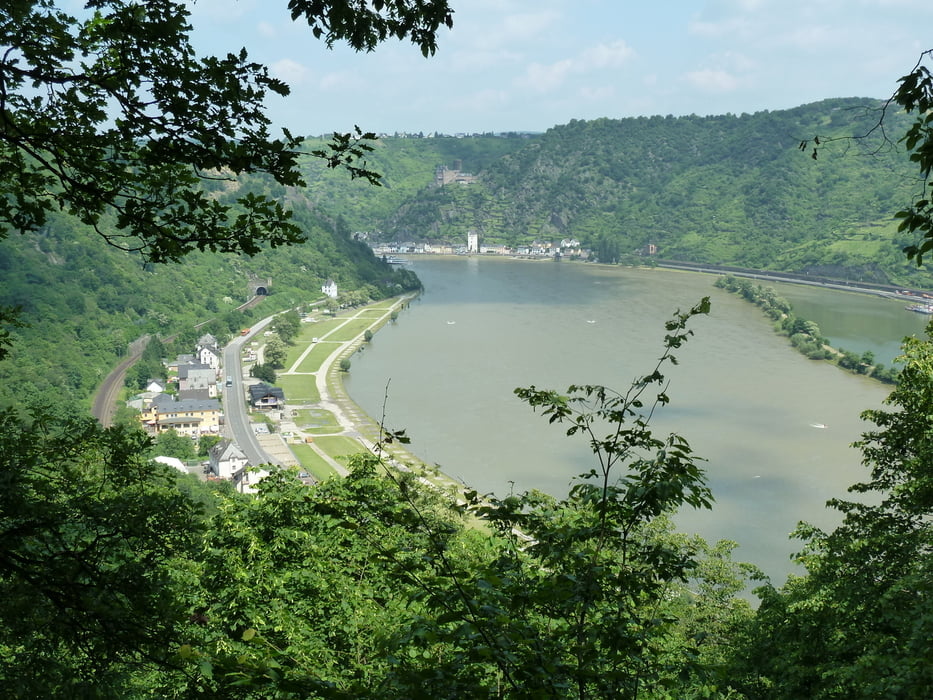
Climbs out of St Goar near railway station and follows the edge of the Rhine Gorge to Overwesel.

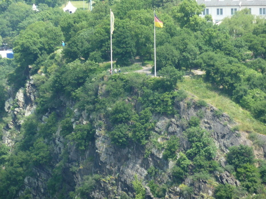
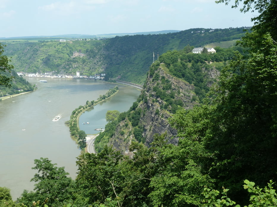
There are a number of picnic sites / view points giving superb views of the Rhine.

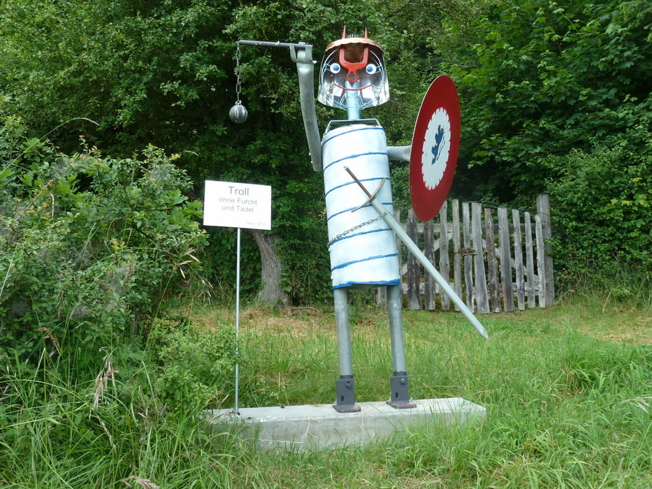
Later on there are five metal 'Troll' sculptures which are well worth seeing.

Galería de rutas

Mapa de la ruta y perfil de altitud

  • Open Street Map
  • Google
Minimum height 4 m Maximum height 272 m Vista detallada

More about the tour author

ronrobinson
Member since 2013

Send private message

Comentarios

The start is up steps immeadiately adjacent to the railway station.    

Follow the red Rhine Burg walk signs

There are several ways to decend into Oberwesel

Return to St Goar by train  -  they run once an hour.

Tracks GPS

Puntos del track
  • GPX / Garmin Map Source (gpx) download
  • TCX / Garmin Training Center® (tcx) download
  • CRS / Garmin Training Center® (crs) download
  • Google Earth (kml) download
  • G7ToWin (g7t) download
  • TTQV (trk) download
  • Overlay (ovl) download
  • Fugawi (txt) download
  • Kompass (DAV) Track (tk) download
  • Hoja de ruta (pdf) download
  • Original file of the author (gpx) download

More about the tour author

ronrobinson
Member since 2013

Send private message
Share track
Add to my favorites
Remove from my favorites
Edit tags
Mi valoración
Rate
Ruta: St Goar to Oberwesel on Rhine Burg Weg
Tipo: Rutas de esquí
Distancia: 25,1 km
valorizado al:
Duración:
Day(s)
Hour(s)
Minute(s)
Valoración: Paisaje Diversión Condición Técnica