


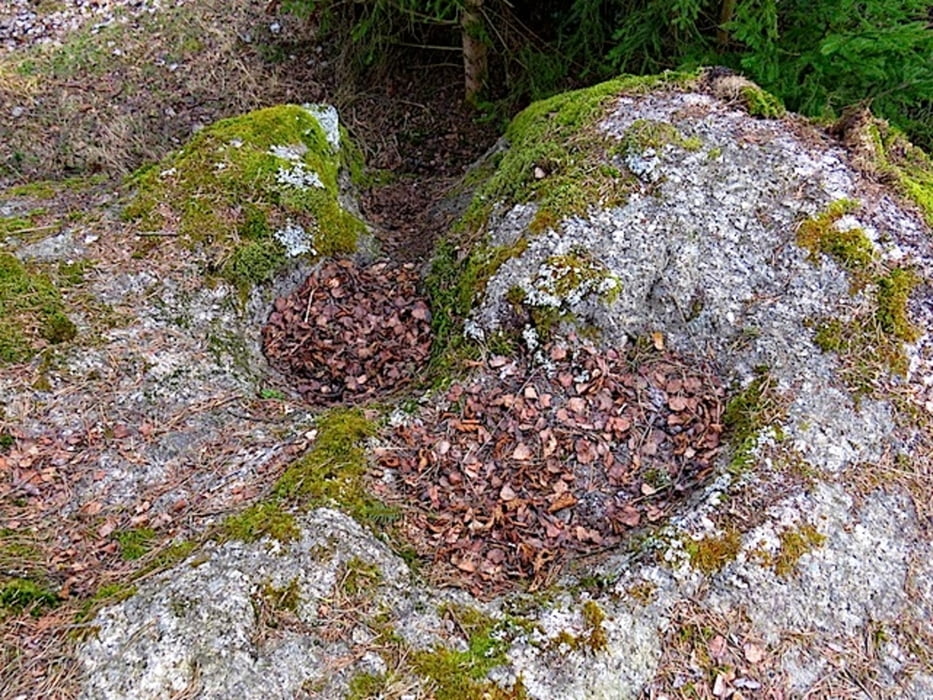
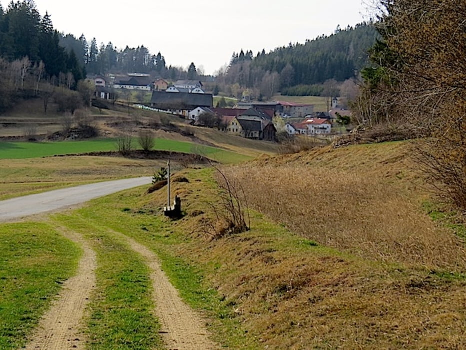
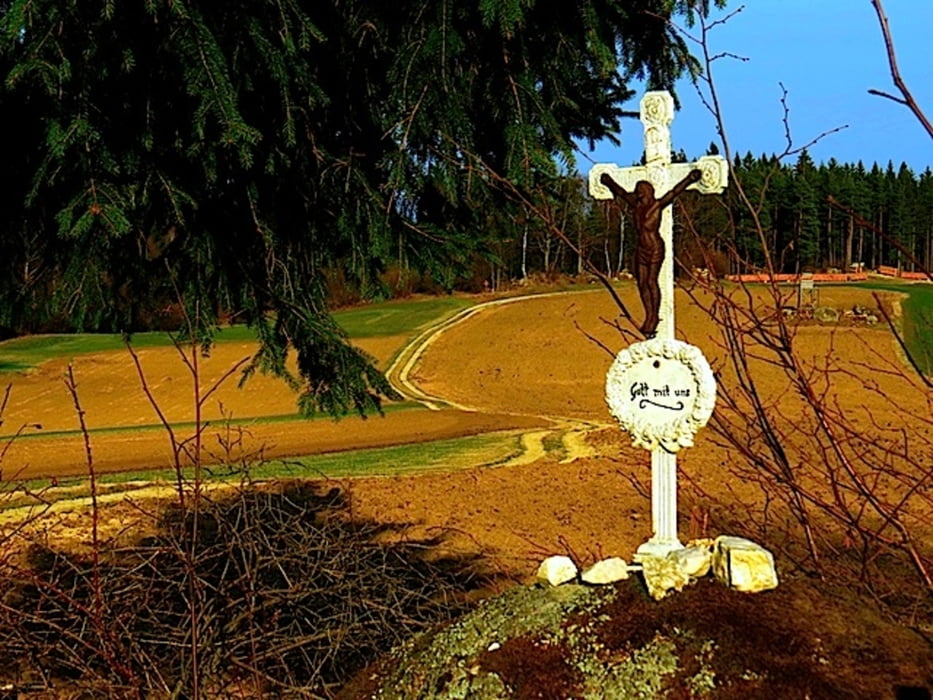
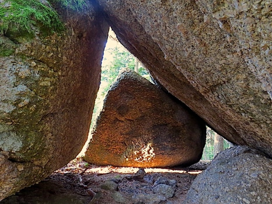
Südlich von Langschlag liegt die Ortschaft Kleinpertholz, eingebettet in eine reichlich bewaldete hügelige Landschaft. Die Häuser des Orts liegen ebenso stufig angeordnet am Fuße des Schabesberges. Rund um den Ort führt der Opfersteinweg. Der Opfersteinweg mit der Nr.95 verbindet mehrere typische Steinformationen in dieser Gegend. Kurz vor Kleinpertholz befindet sich ein kleiner Parkplatz, das ist der ideale Startplatz für diese Tour. Neben den außergewöhnlichen Opfersteinen kommen wir bei vielen sogenannten Restlingen vorbei.
Die sogenannten Opfersteine sind besonders geformte oder bearbeitete Steine. Sie werden vor allem im 19. und frühen 20. Jahrhundert oft mit einem blutigen Opferkult der Germanen in Verbindung gebracht, für den es aber keine Belege gibt. In der Archäologie sind Begriffe wie Rillen- oder Schalenstein bekannt.
Mehr Info und Deine Meinung in meinem Wanderblog - schau doch mal vorbei!
Karten:
Austria Map Ost (BEV)
Wander-, Rad- und Freizeitkarte WK0111 1:50.000, herausgegeben von Freytag & Berndt
Further information at
http://www.zwalk.at/der-opfersteinweg-teil-1/Galería de rutas
Mapa de la ruta y perfil de altitud
Minimum height 824 m
Maximum height 923 m
More about the tour author
|
|
Jonny |
Comentarios

Per Auto
• nördlich Zwettl Richtung Groß Gerungs, Langschlag, Kleinpertholz
• östlich Zwettl Richtung Groß Gerungs, Langschlag, Kleinpertholz
• südlich Westautobahn A1 Abfahrt Ybbs, Würnsdorf, Ottenschlag, Zwettl Richtung Groß Gerungs, Langschlag, Kleinpertholz
Tracks GPS
Puntos del track-
GPX / Garmin Map Source (gpx) download
-
TCX / Garmin Training Center® (tcx) download
-
CRS / Garmin Training Center® (crs) download
-
Google Earth (kml) download
-
G7ToWin (g7t) download
-
TTQV (trk) download
-
Overlay (ovl) download
-
Fugawi (txt) download
-
Kompass (DAV) Track (tk) download
-
Hoja de ruta (pdf) download
-
Original file of the author (gpx) download
More about the tour author
|
|
Jonny |
Add to my favorites
Remove from my favorites
Edit tags
Open track
Mi valoración
Rate