


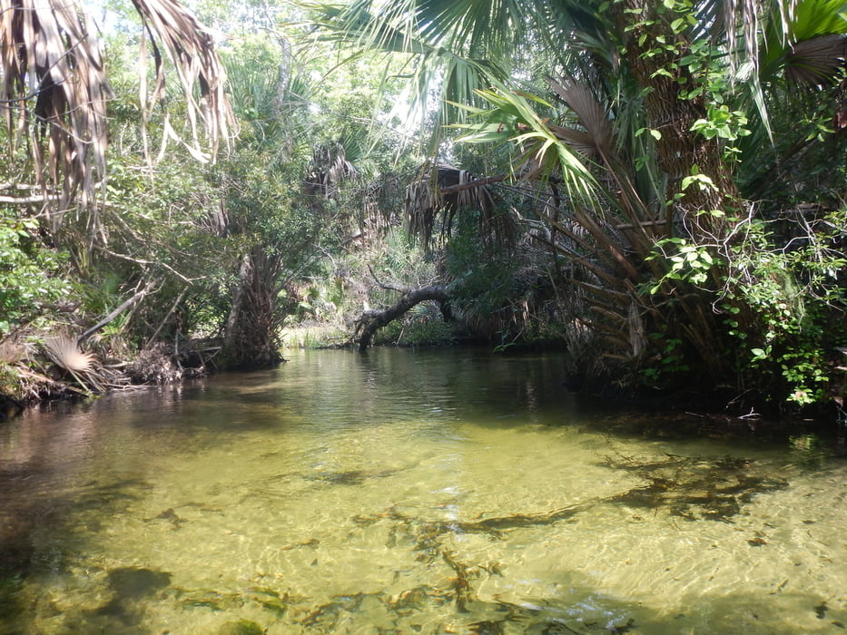
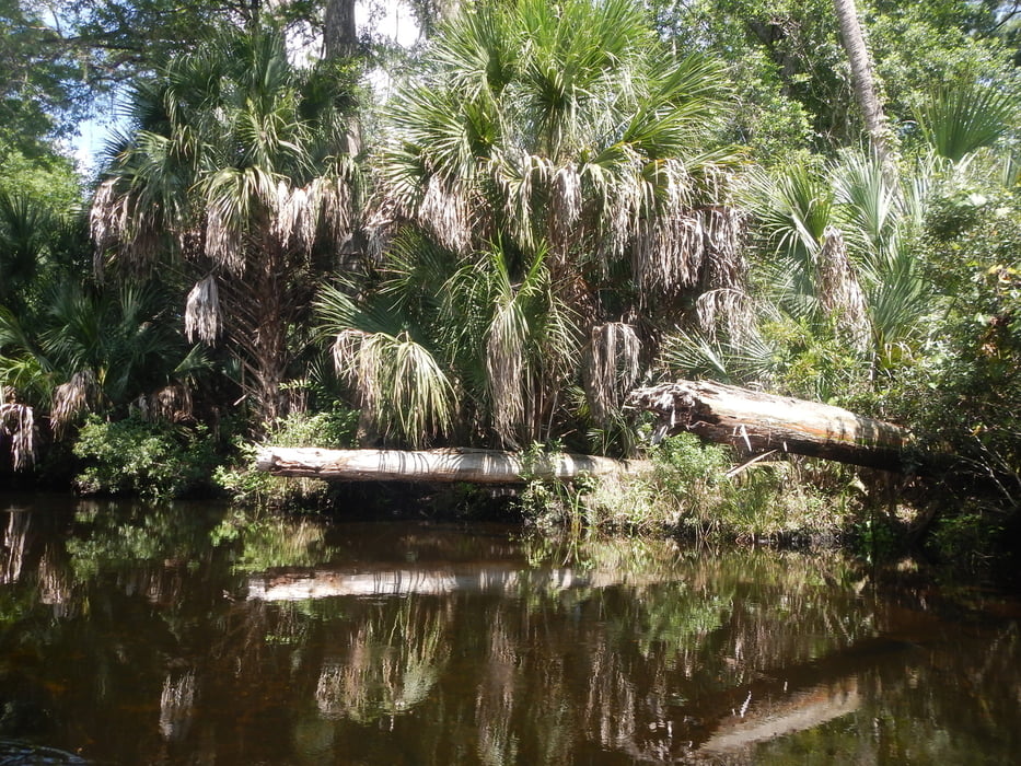
www.juniper-springs.com/recreation/ : "Named one of the top 25 canoe runs in America by ReserveAmerica and typically a high point of a visit to Florida, Juniper Run is a narrow, winding waterway set under a dense canopy of old-growth forest and few places solid enough to get out of your canoe"
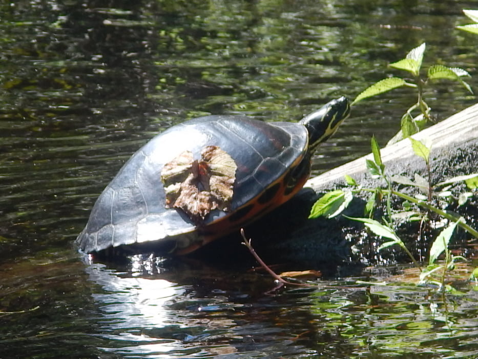
Canoeing is extremely popular year-round at Juniper springs. Canoes and kayaks are available to be rented. The seven-mile journey down Juniper Run offers a unique perspective on the Juniper Prairie Wilderness, where you might see otters at play or alligators drifting through the shallows.
All pictures of this tour: www.panoramio.com/photo/124625093
Further information at
http://www.juniper-springs.comGalería de rutas
Mapa de la ruta y perfil de altitud
Minimum height -3 m
Maximum height 13 m
More about the tour author
|
|
MatthiasBy |
Comentarios

From the intersection of Highway 19 and Highway 40, 4.6 miles west on Highway 40. Entrance on north side of Highway 40.
Tracks GPS
Puntos del track-
GPX / Garmin Map Source (gpx) download
-
TCX / Garmin Training Center® (tcx) download
-
CRS / Garmin Training Center® (crs) download
-
Google Earth (kml) download
-
G7ToWin (g7t) download
-
TTQV (trk) download
-
Overlay (ovl) download
-
Fugawi (txt) download
-
Kompass (DAV) Track (tk) download
-
Hoja de ruta (pdf) download
-
Original file of the author (gpx) download
More about the tour author
|
|
MatthiasBy |
Add to my favorites
Remove from my favorites
Edit tags
Open track
Mi valoración
Rate